ADV Studio IV Subtraction | Pin Up 02/16
Strategies of subtraction
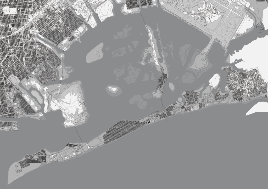
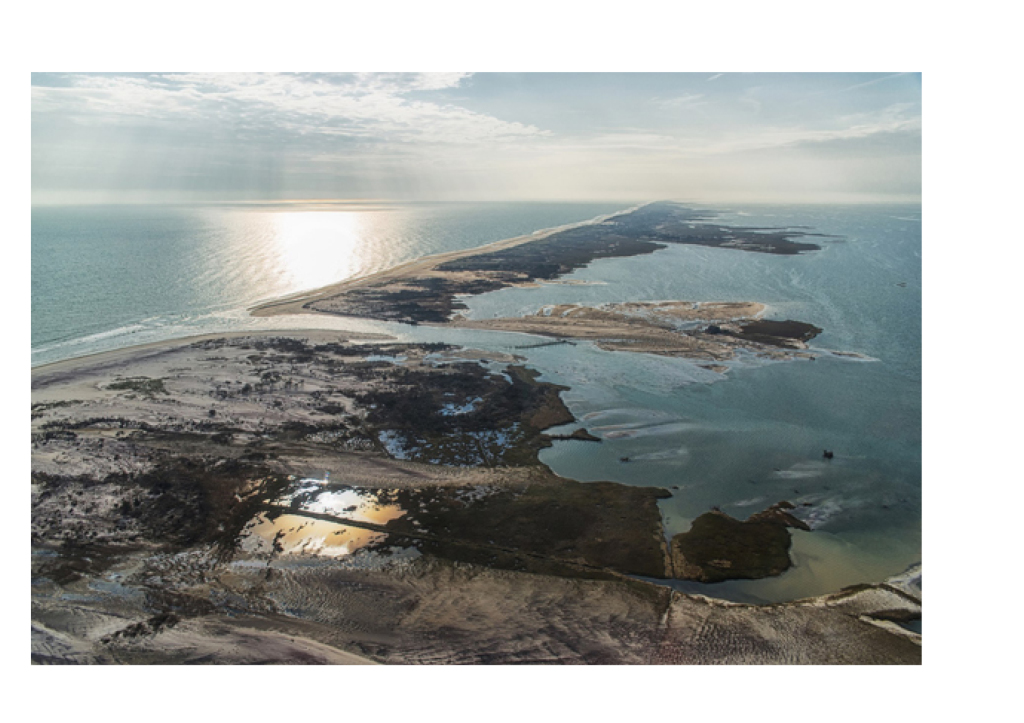
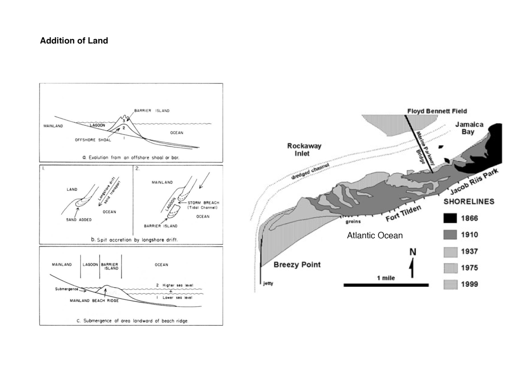
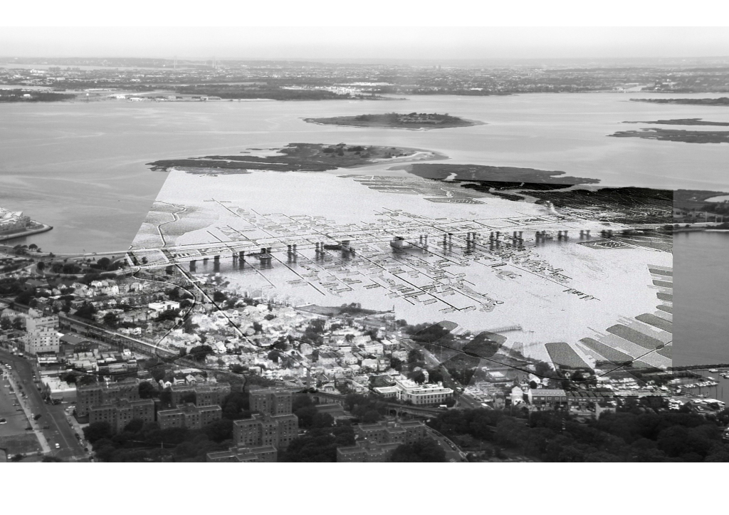
The natural current of the water pushes itself against here, Belle Harbor.
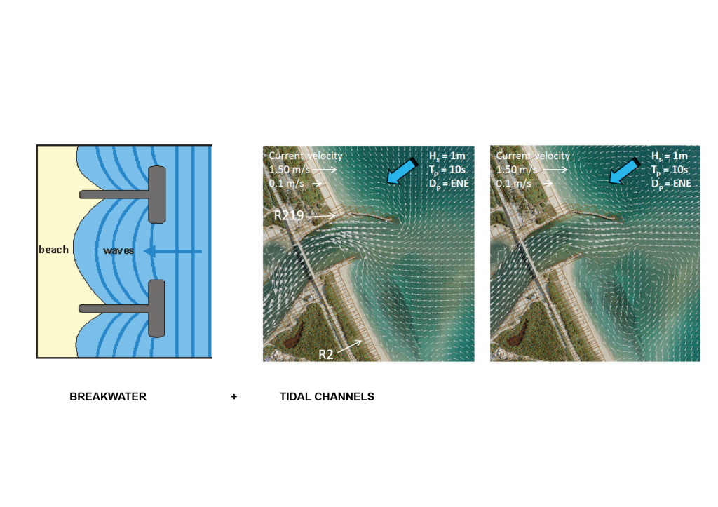
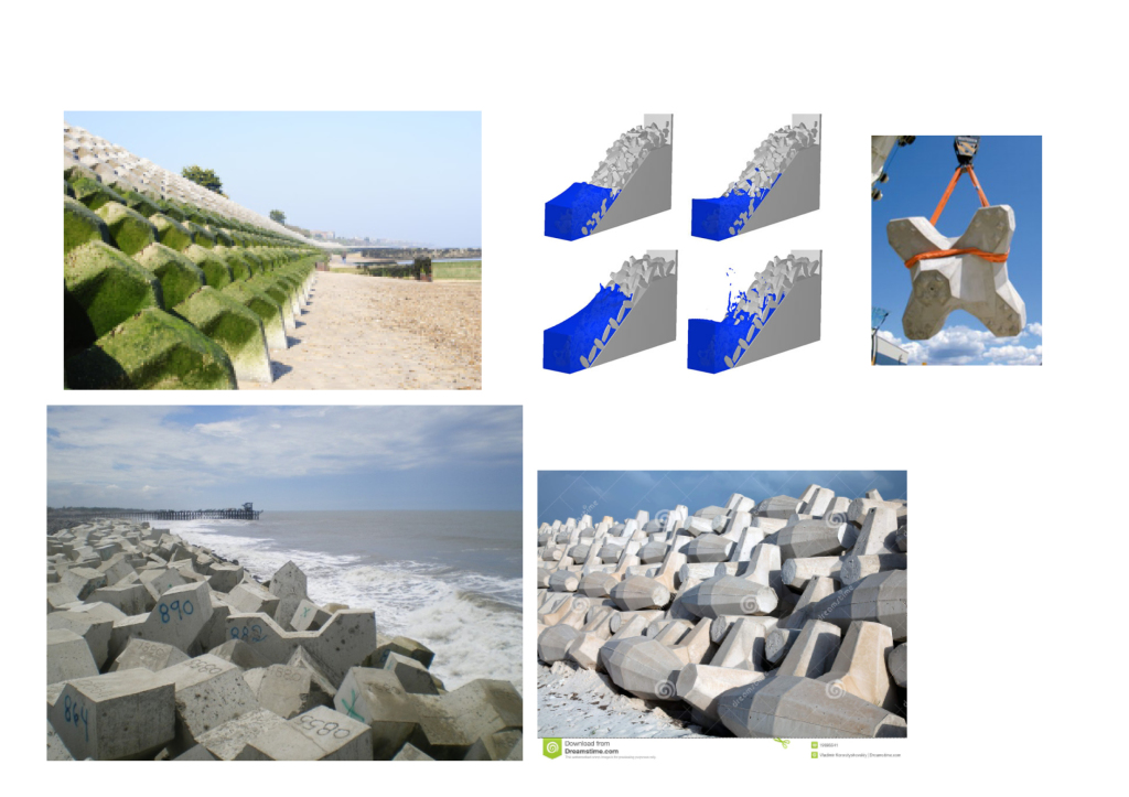
I was interested in breakwaters and tidal channels.
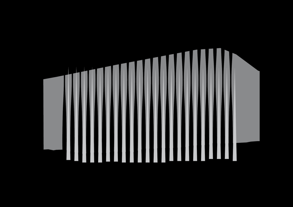
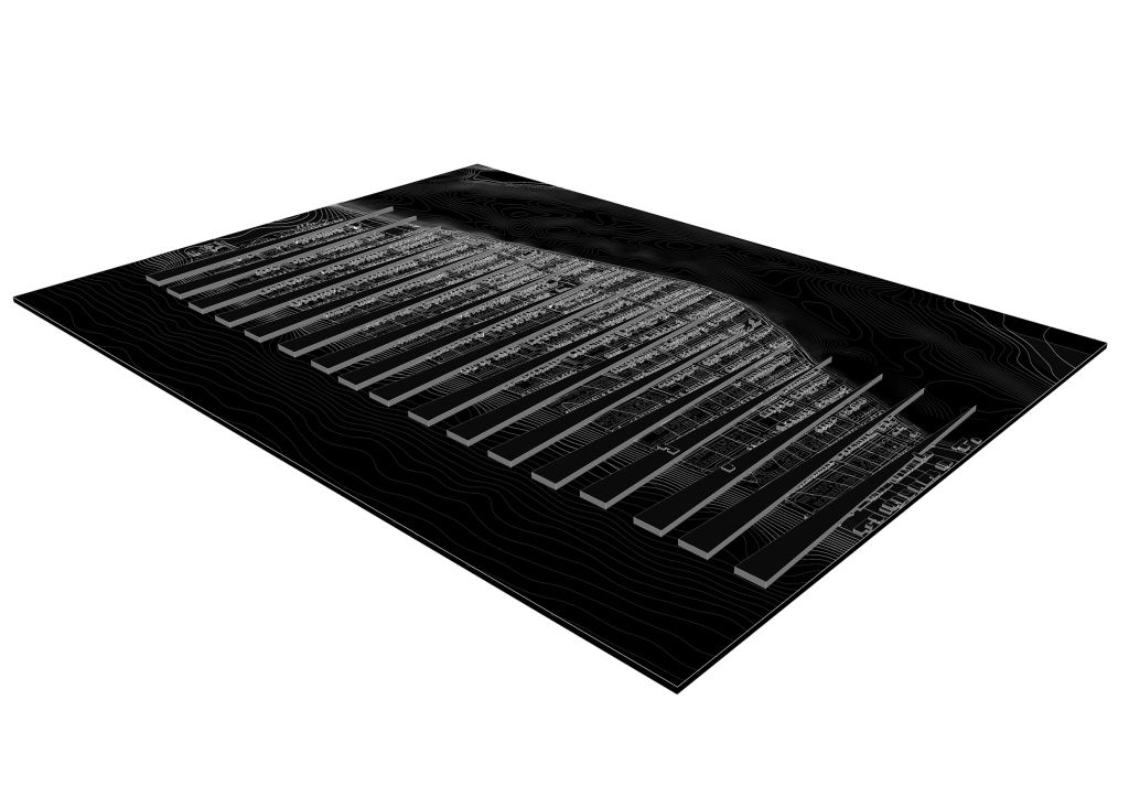
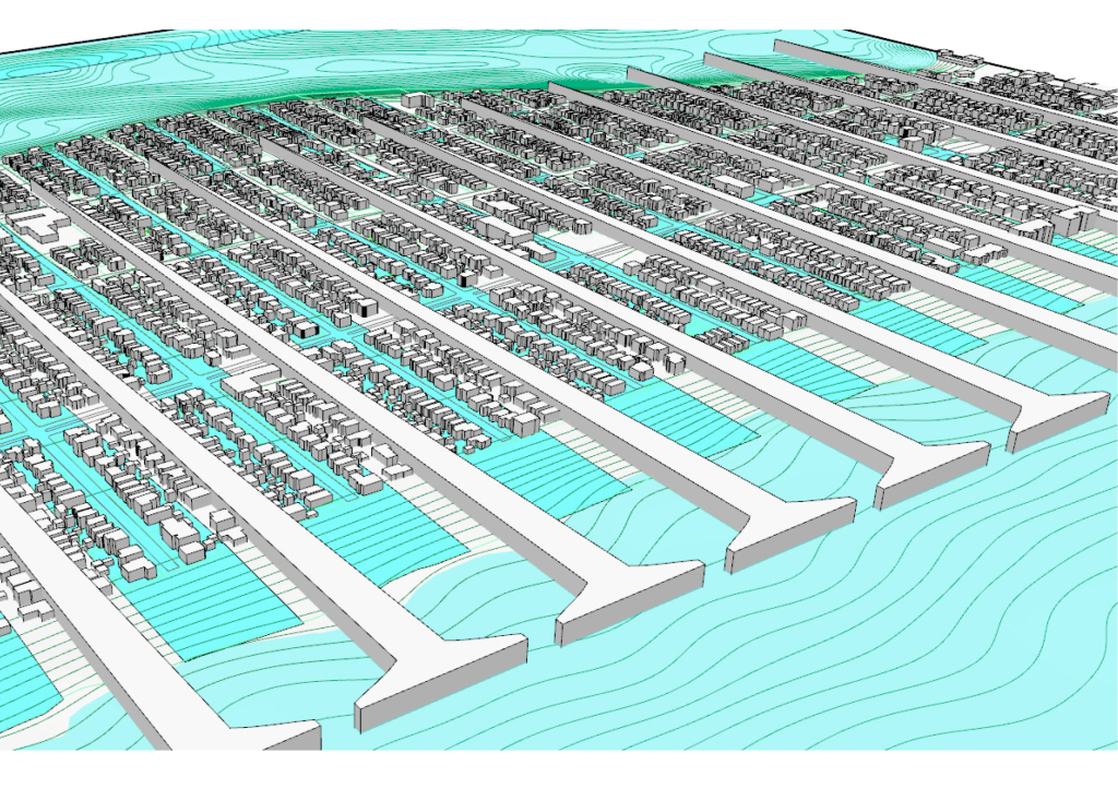
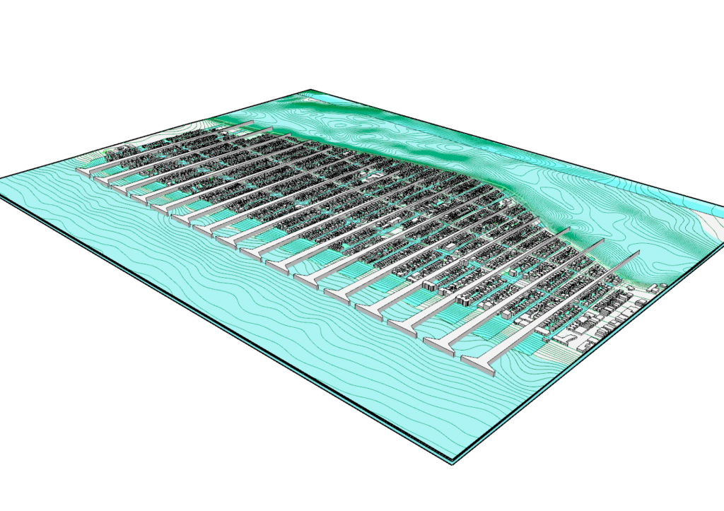
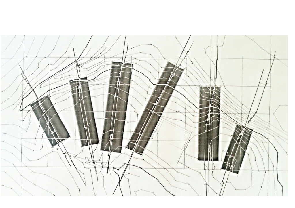
So the premise of this conceptual masterplan asks what if building itself was breakwater — a series of breakwater buildings interspersed by tidal inlets.
The approach is really more of an interaction with the sea rather than a counteraction. I’m really interested in the sharing of land with the water and accomodating the water rather than protecting the existing peninsula.
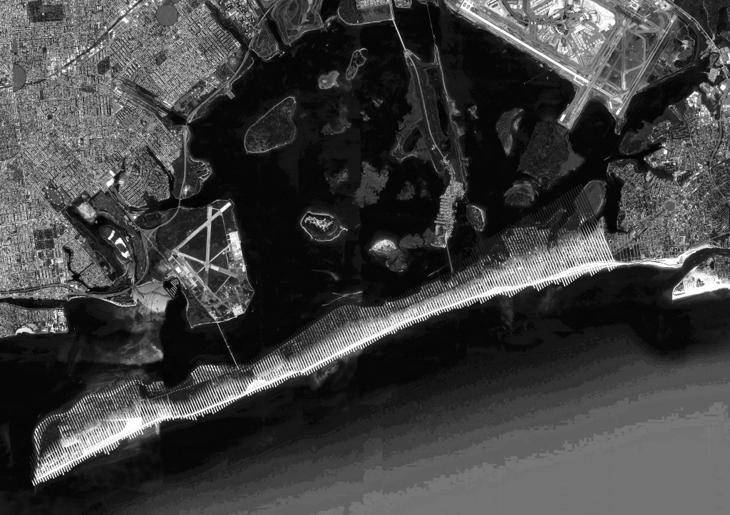
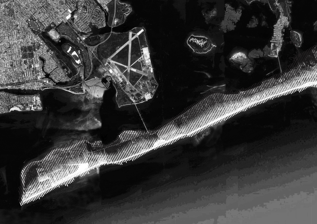
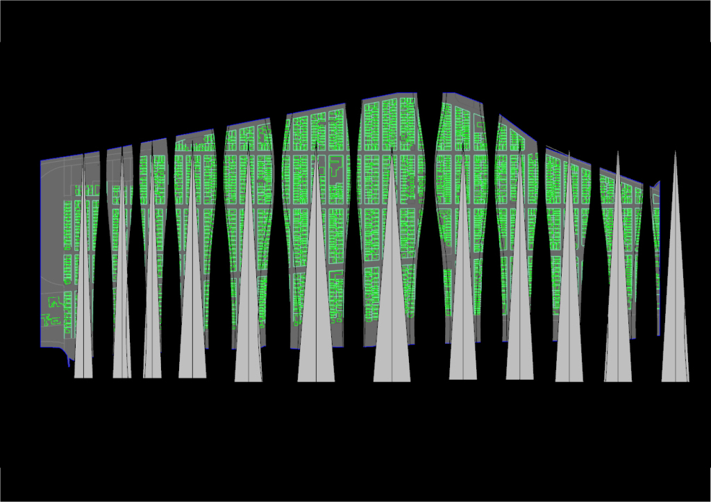
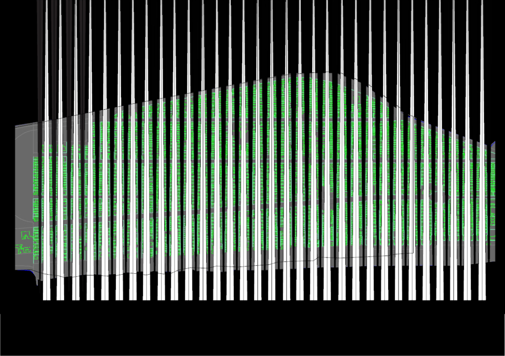
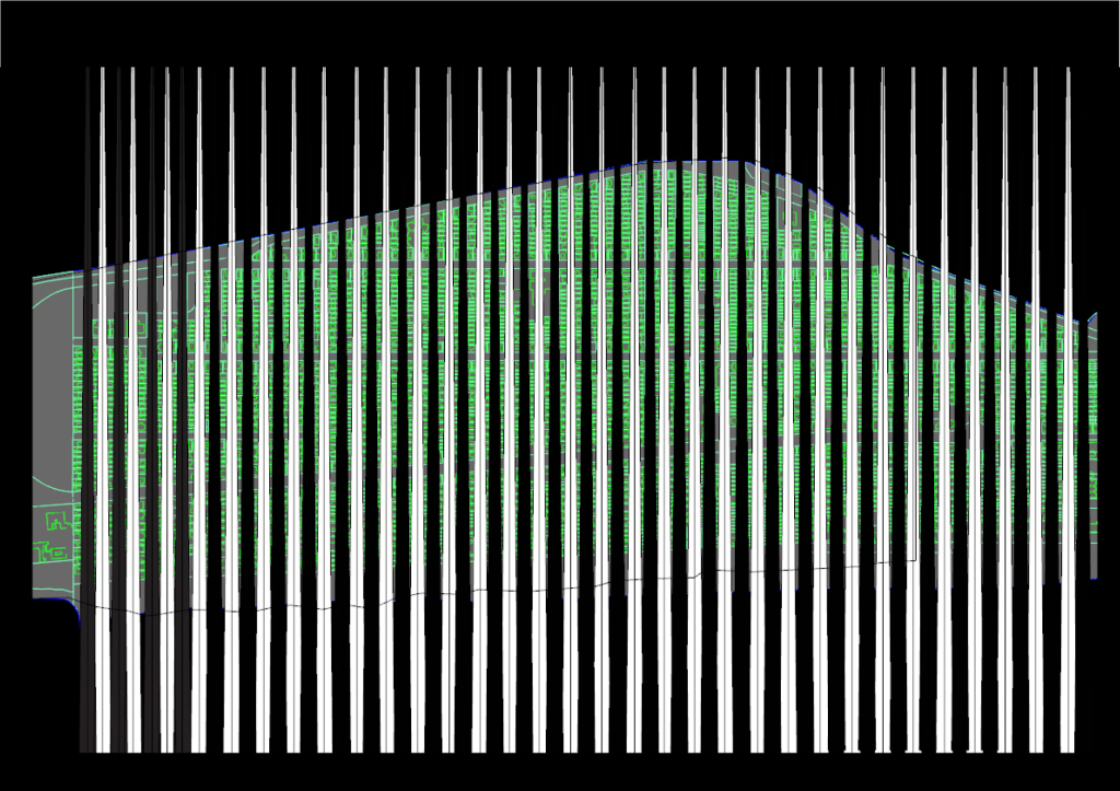
Here’s an example of a strategy of subtraction.
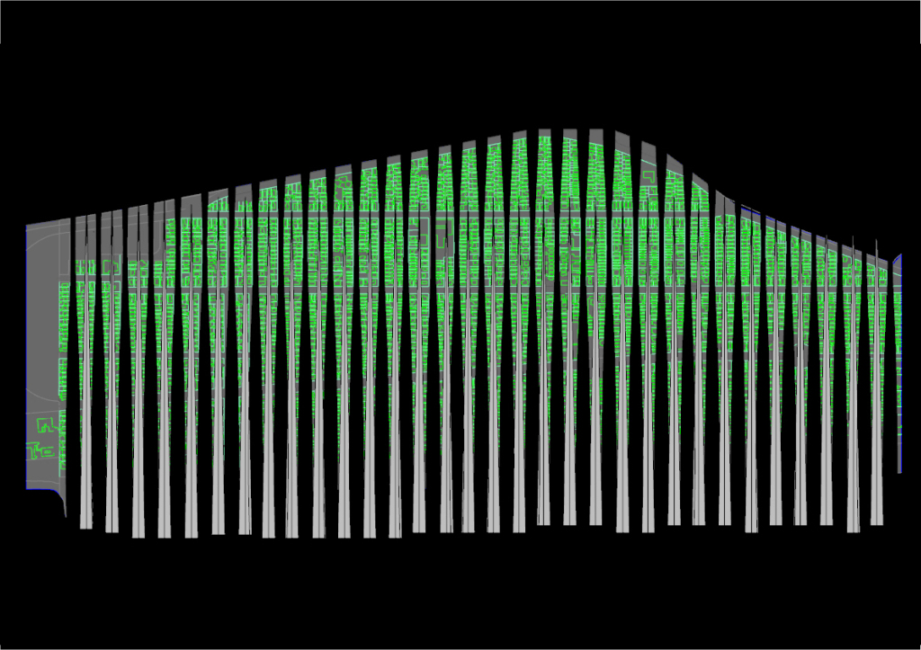
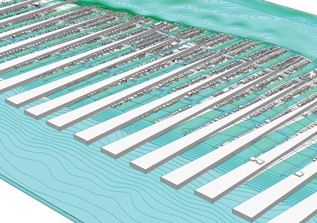
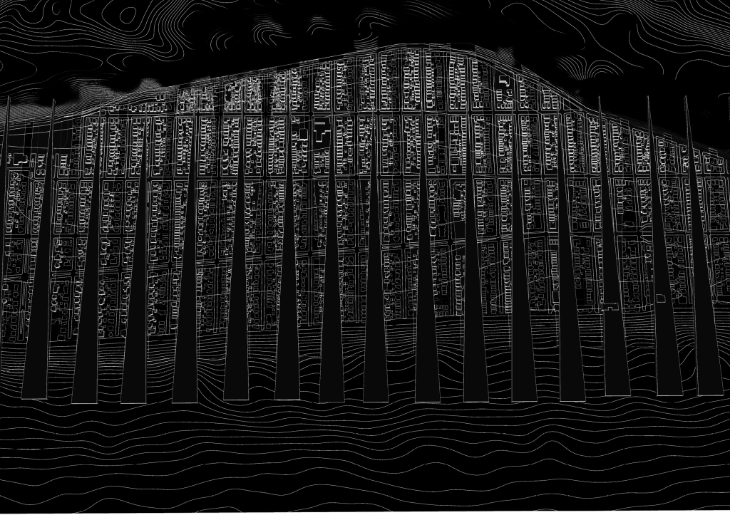
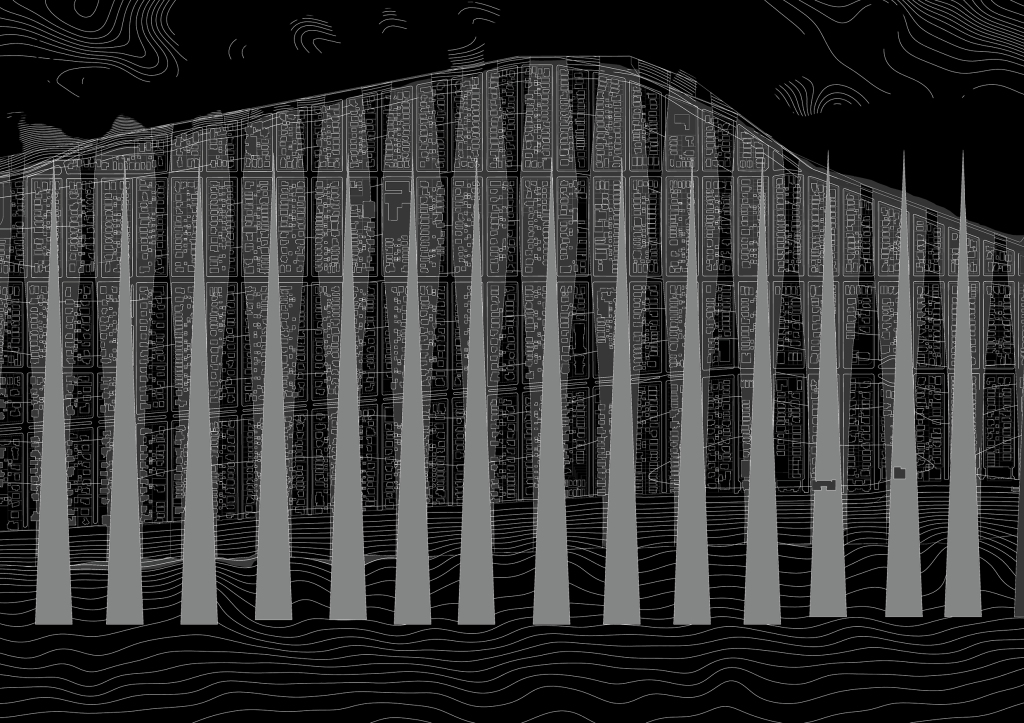
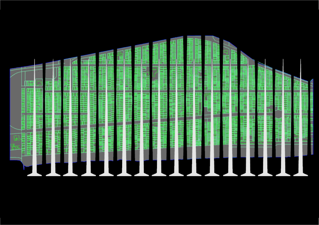
A very linear scheme perpendicular to the peninsula that creates a fluid connection between the ocean, the peninsula and the bay as opposed to a barrier that separates these.
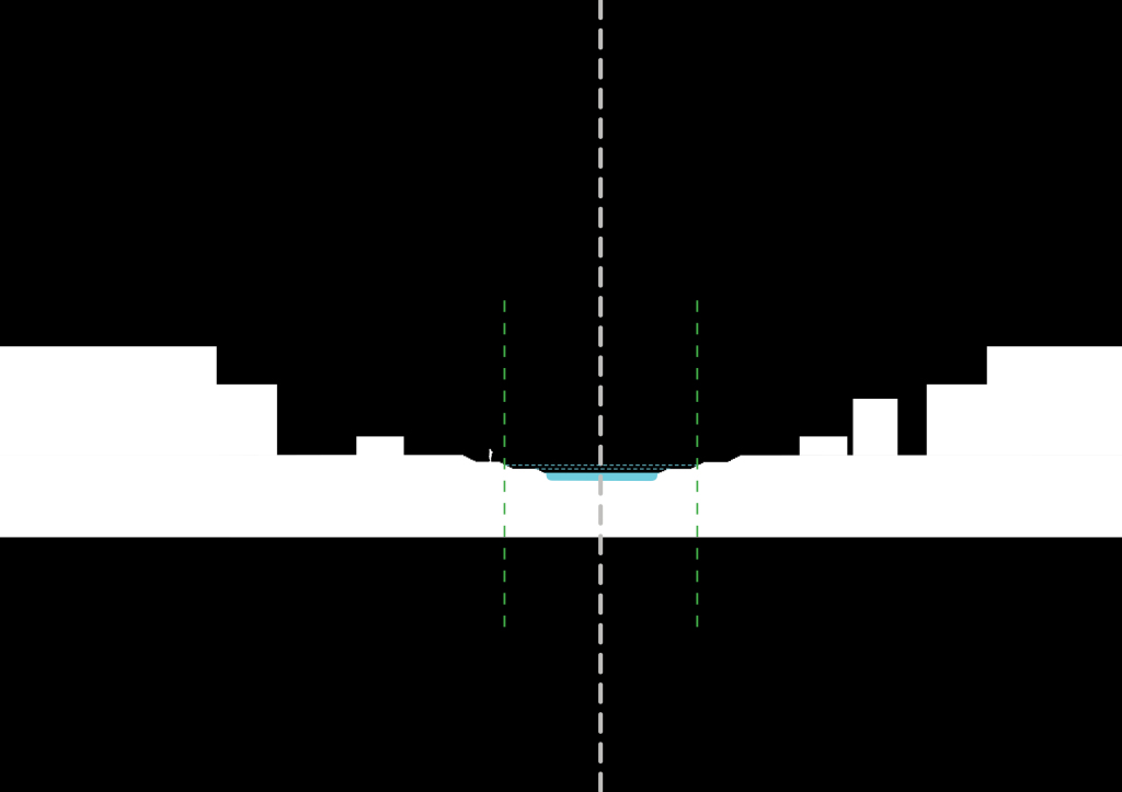
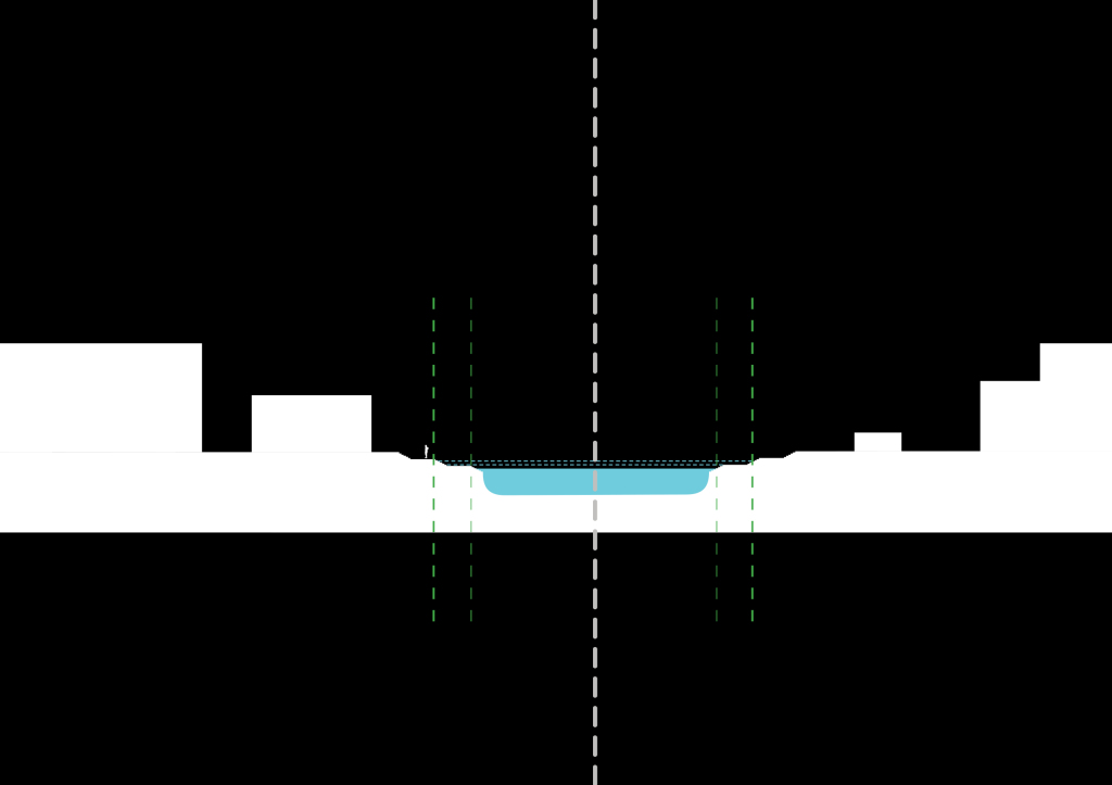
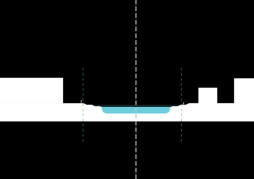
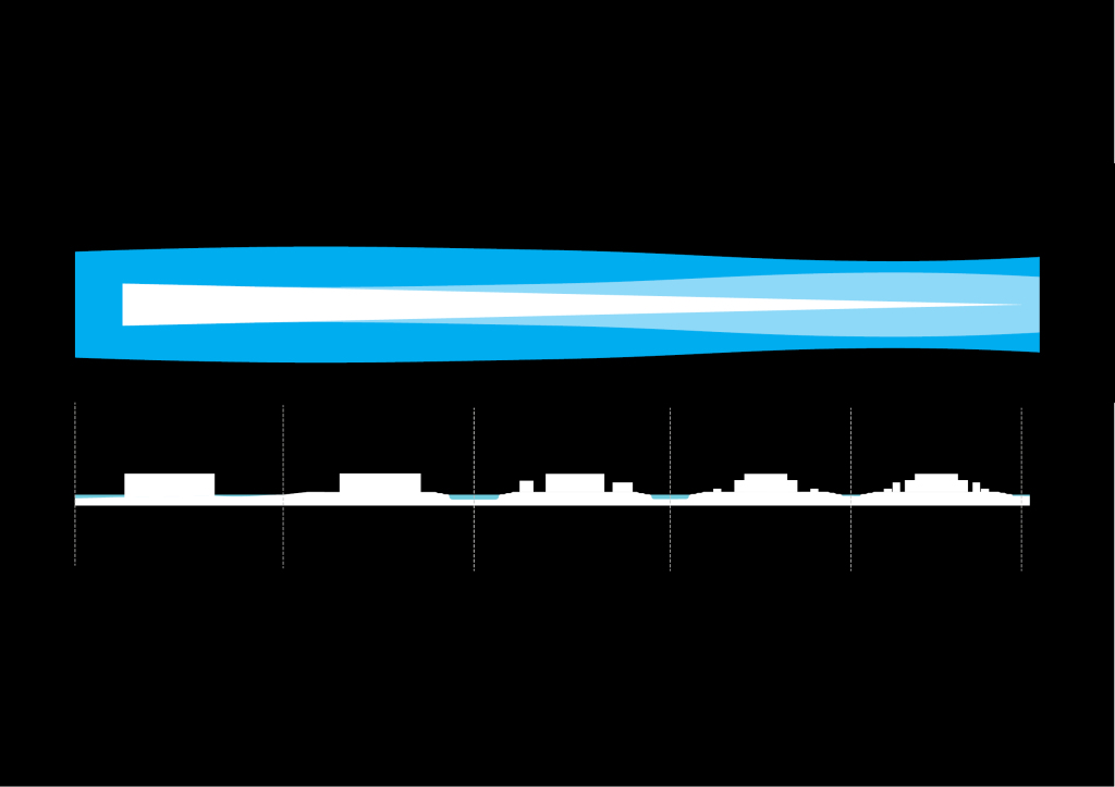
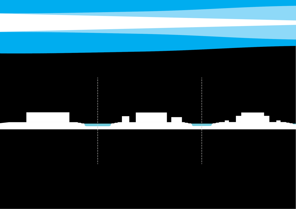
These tidal inlets vary in section – from a 50 foot wide canal, to an 80 feet shallow stream, to a 100-200 foot deeper channel.
The wet inlets have a sort of stepped landscape between the lowest tide and the highest tide. These are landscape opportunities within the grid of beached canals, where the ground is wet for periods of the day — and dry, accessible at other times.
It’s essentially becomes a green wet zone. Kind of like a wetland but a landscaped, partly hardscaped, manufatured beach wetland channel. The idea is to create tidal inlets that embrace the realities of living with both the buoyancy and volatility of water. Tides.
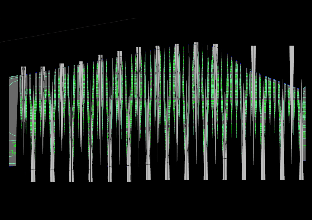
Some other subtractive strategies explored
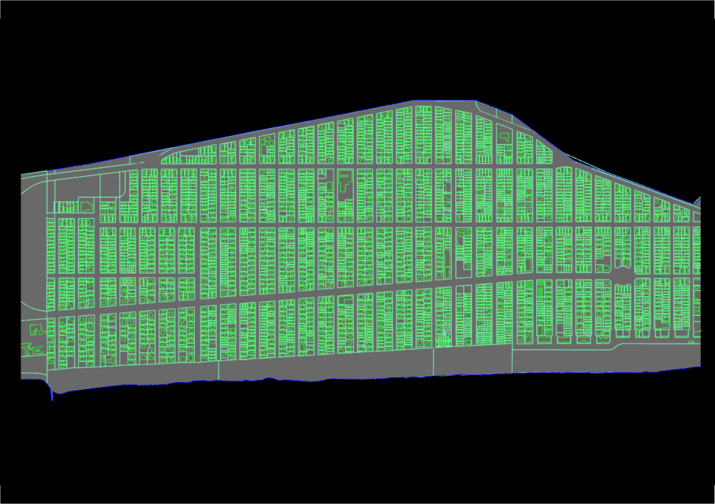
The area of focus. Belle Harbor. Although this can change – was also thinking of moving up north a bit to Seaside…. which has a shorter span for the canals
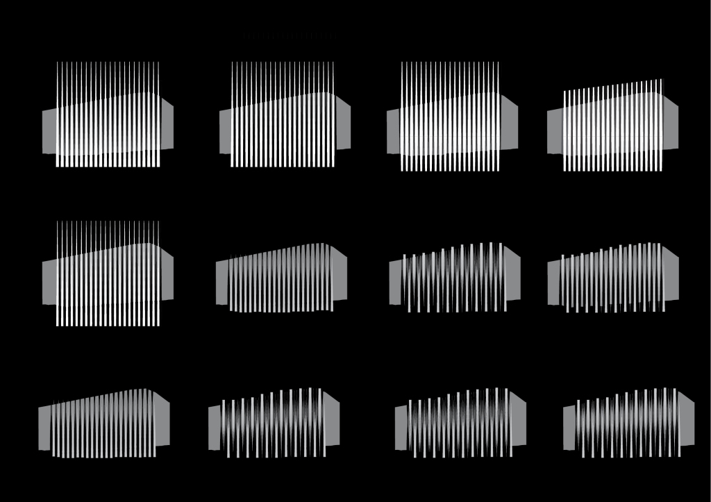
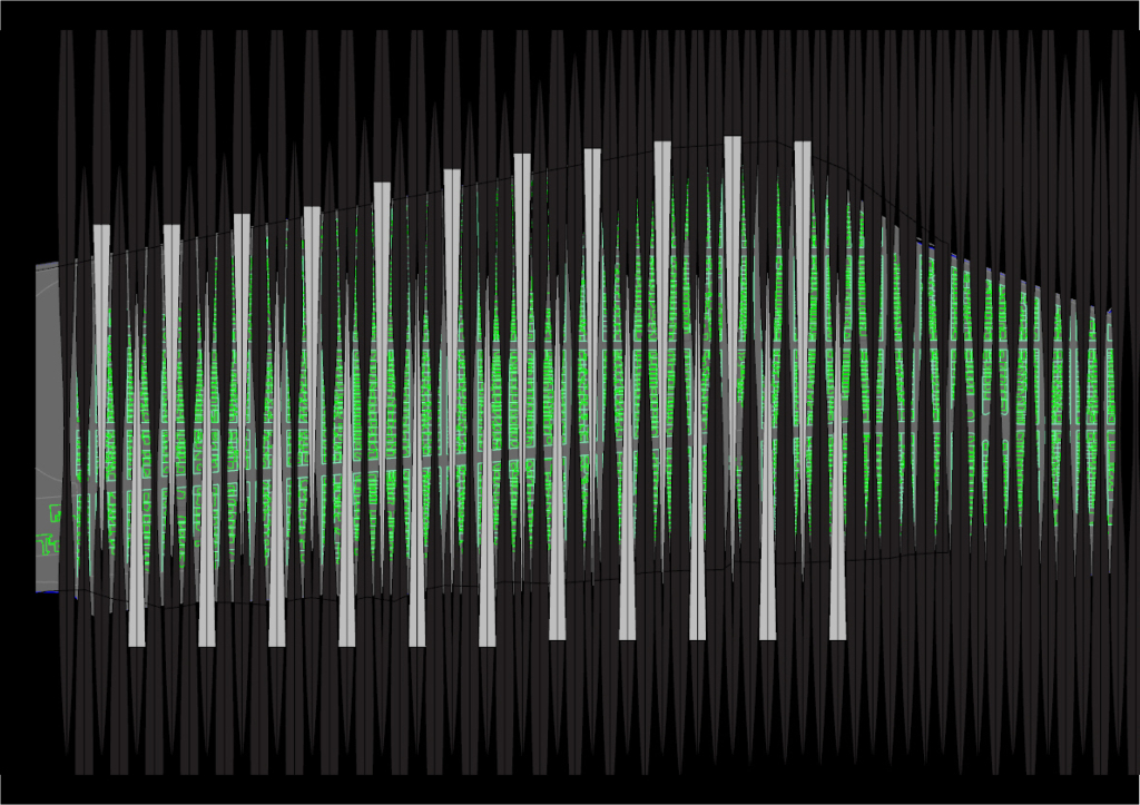
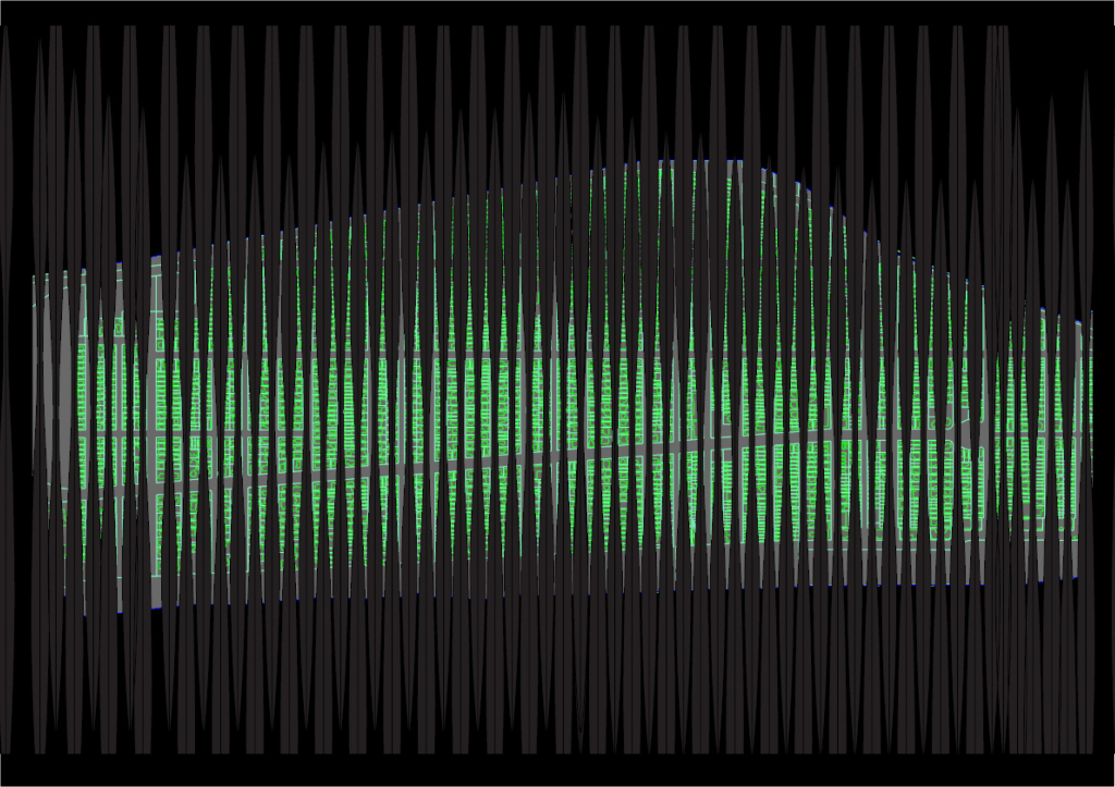
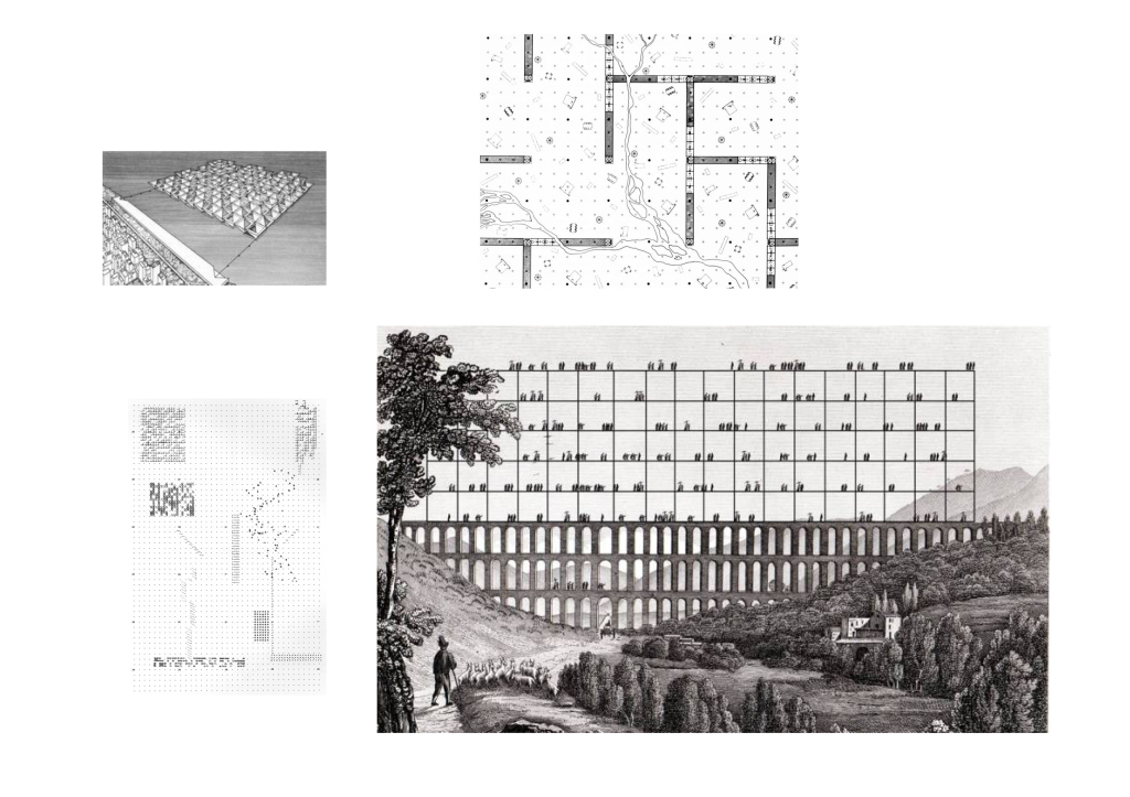
In these diagrams I’m exploring the in-between conditions of the Breakwater+Tidal inelt duality = which is that tidal landscape.
In these diagrams I’m exploring the in-between conditions of the Breakwater+Tidal inelt duality = which is that tidal landscape.
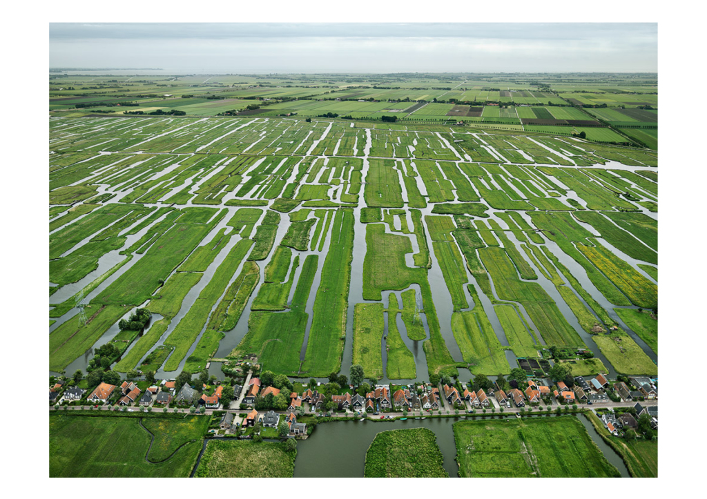
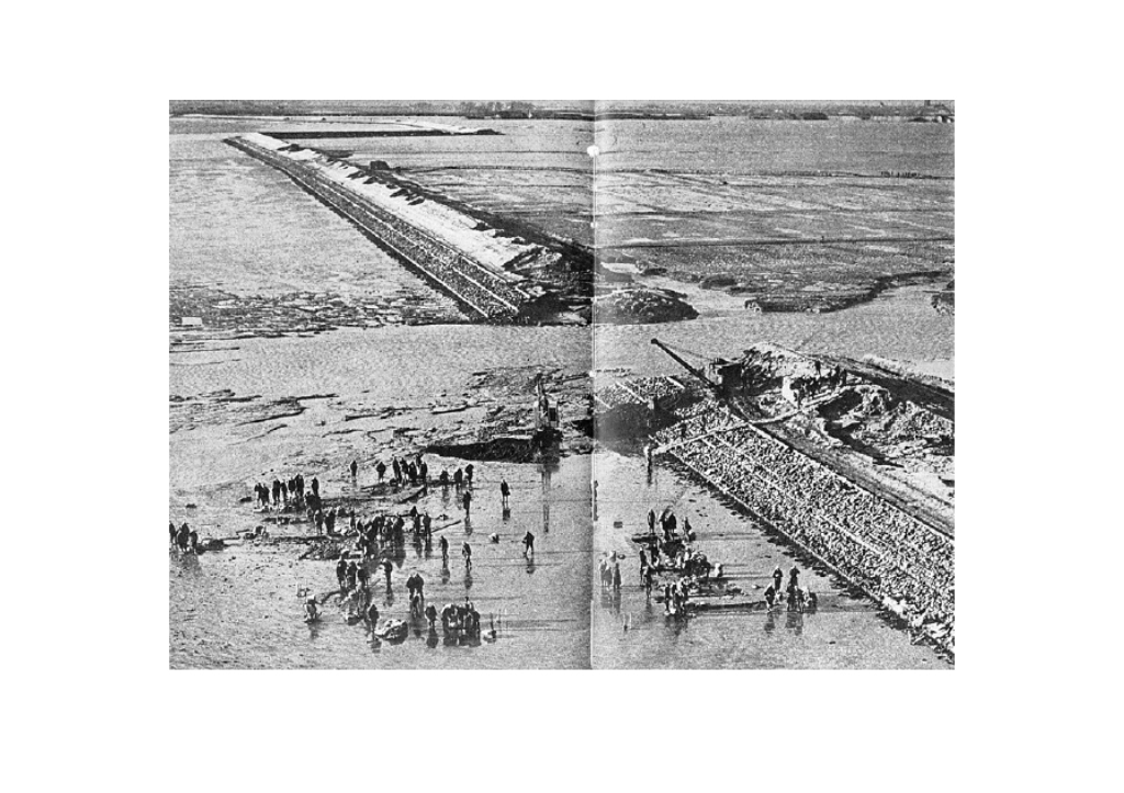
The perpendicular orientation is a ecological move. These are polders in Holland. Polder is a low-lying tract of land enclosed by embankments (barriers) known as dikes that forms an artificial hydrological entity, meaning it has no connection with outside water other than through manually operated devices. There are three types of polder:
- Land reclaimed from a body of water, such as a lake or the sea bed
- Flood plains separated from the sea or river by a dike
- Marshes separated from the surrounding water by a dike and subsequently drained
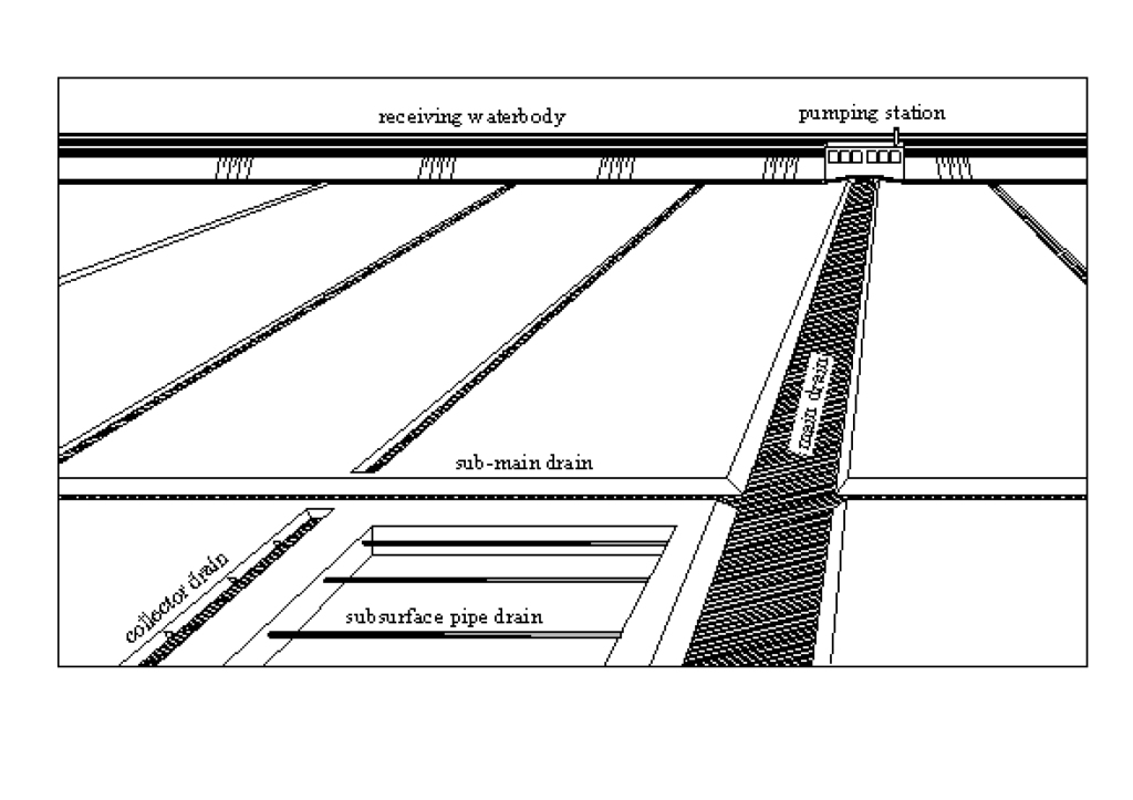
I’m exploring how these channels could be a naturally functioning polder
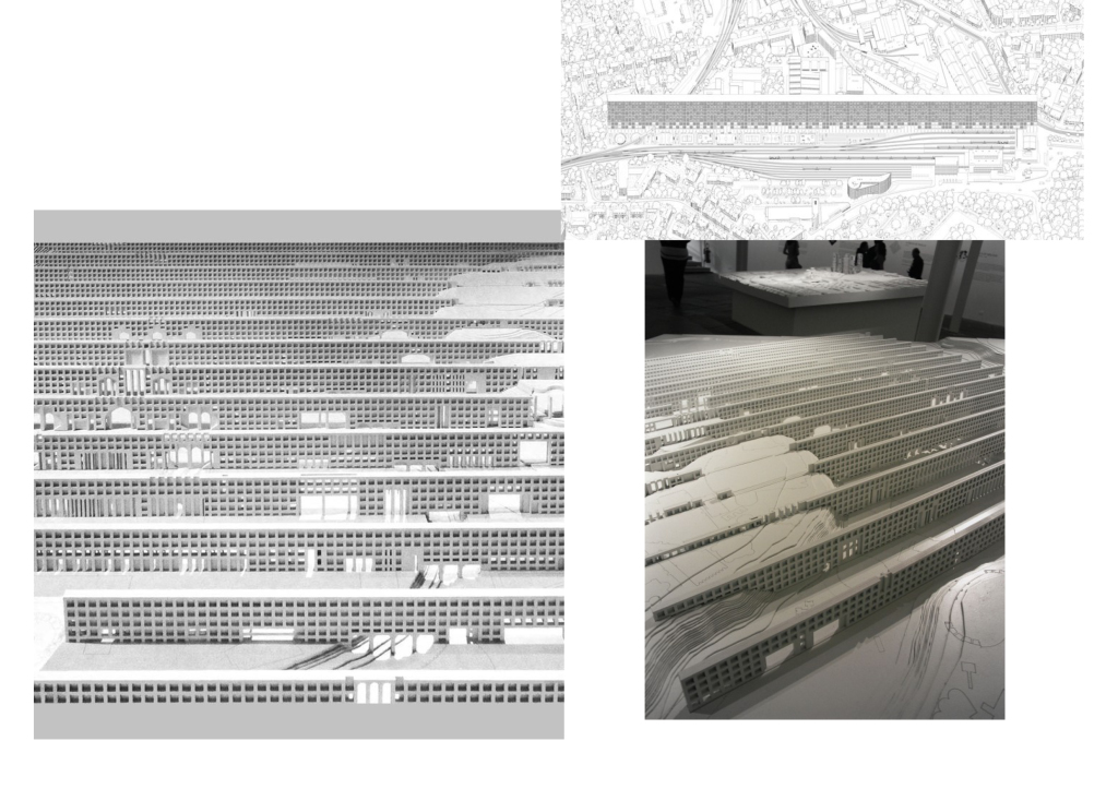
I will propose a network parallel to the peninsula that connects these blocks at a certain elevation.
I’m also exploring the typology of a single breakwater block and its adjacent tidal inlets. The intention is to refine this, contextualize, and catalog types in greater detail.
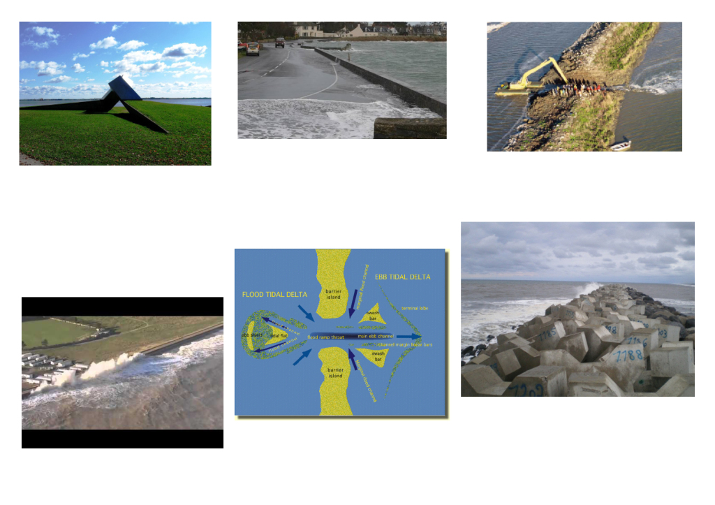
Reference images

