ADV Studio IV Subtraction | Mid-Review | Urban Strategy
Urban strategy for the Rockaway Peninsula
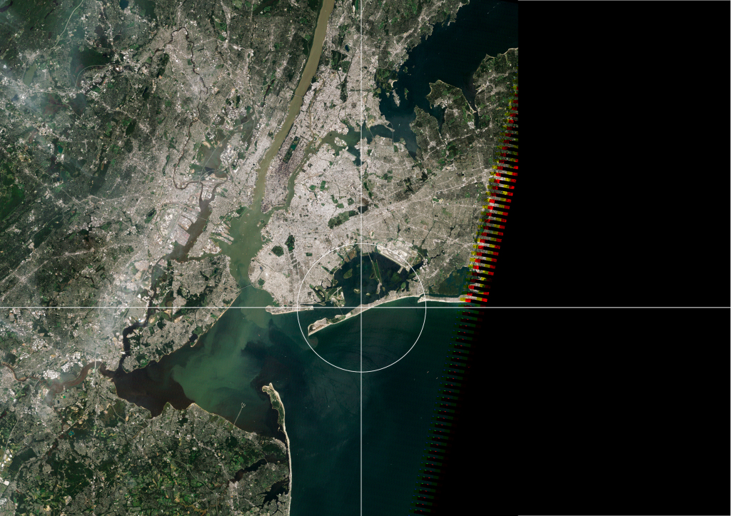
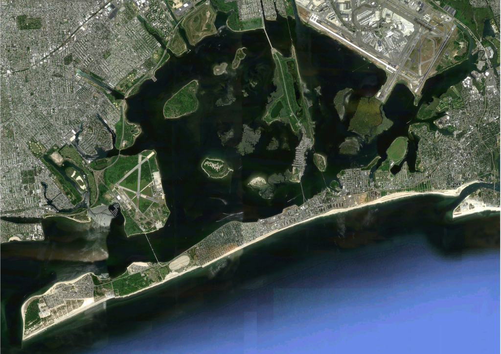
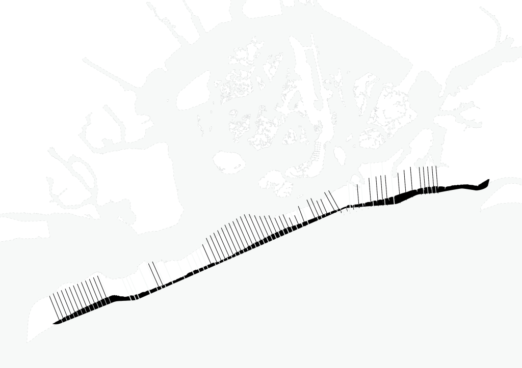
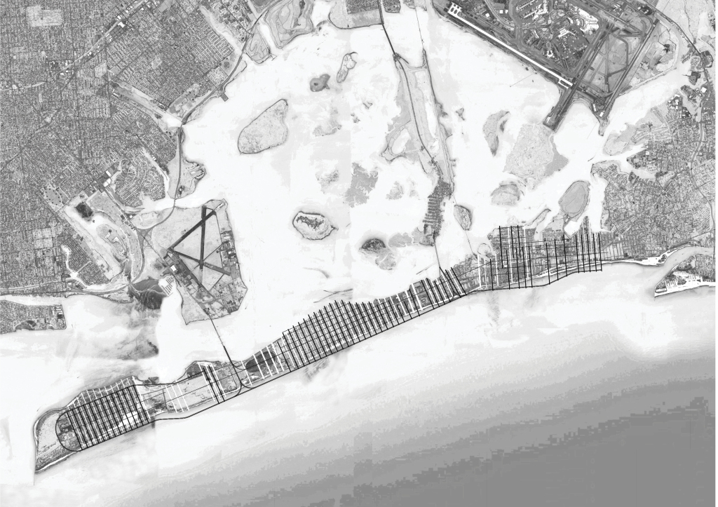
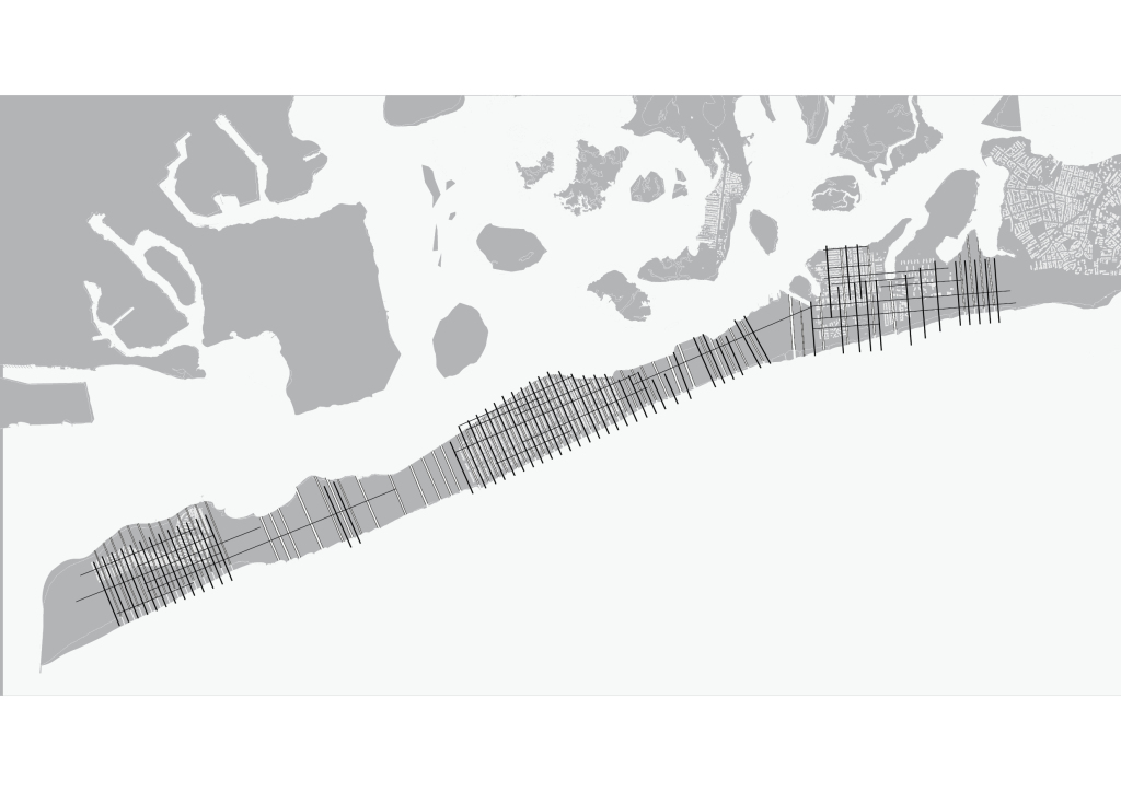
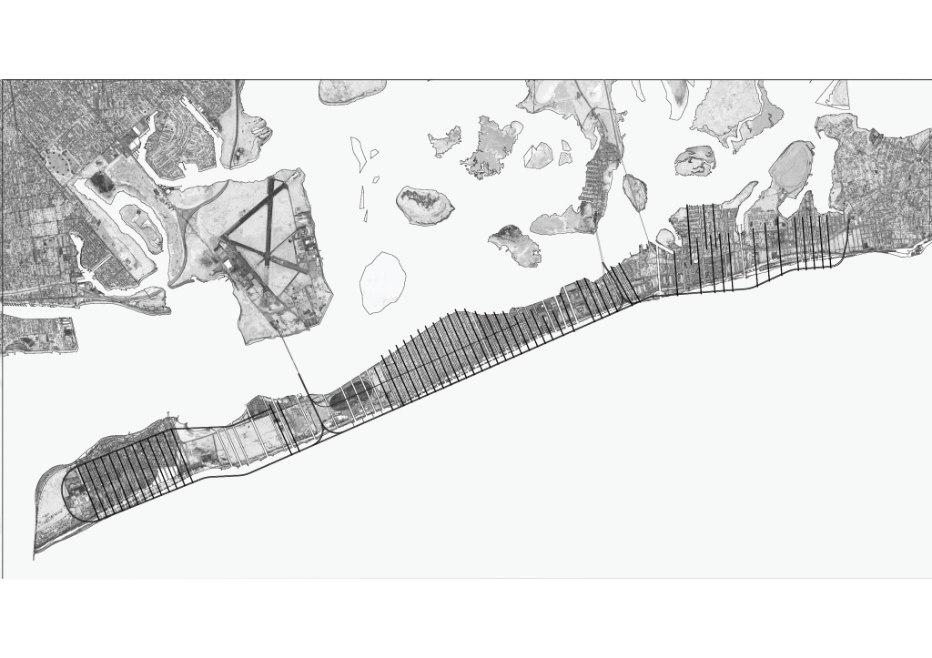
Here we are, the Rockaway Peninsula, its immediate context, Jamaica Bay and the Greater New York City Area.
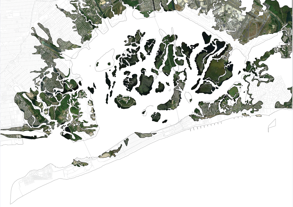
Jamaica Bay has long been considered New York city’s ecological gem which can be attributed to the marshlands
Before 1930s there was almost double the area of marsh that we have today. A good 2 miles inland from what we now know as the Jamaica Bay shoreline along Queens and Brooklyn were actually wetlands. Wetlands filter water by collecting sediments, they lessen the impact of coastal flooding… Many of the projects in Jamaica bay are about reconstructing and restoring the wetlands.
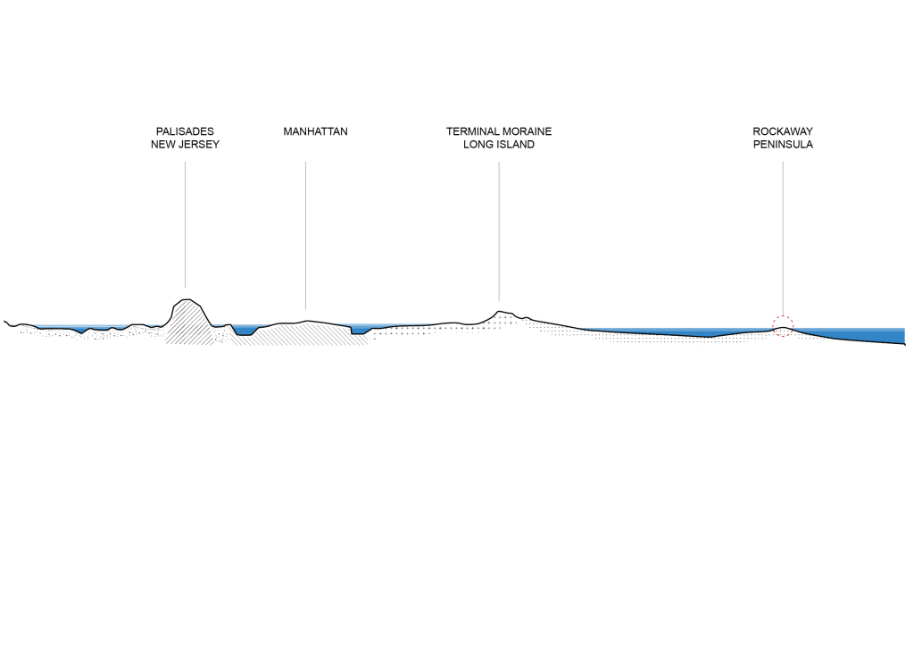
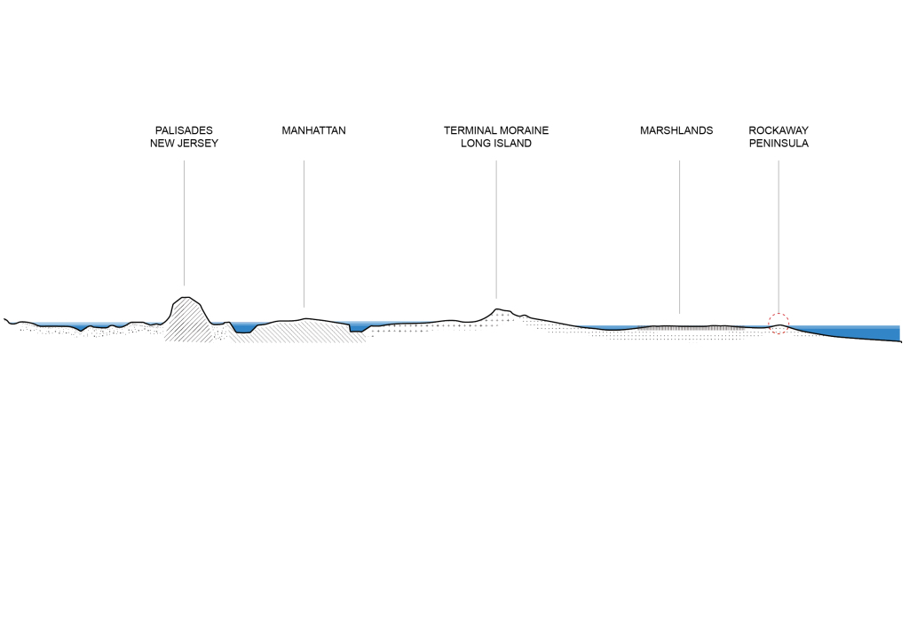
I’m interested in the relationship of the Peninsula to the Bay. You can see in this section the vast differences in elevation: fom the NJ Palisades by the Hudson river, Manhattan, to the terminal moraine in Long Island which is a glacially formed accumulation of boulders, that’s the rock formation called Outer Lands that stretches all the way to cape cod, and then we have Jamaica Bay and the Peninsula and the Sound.
The Peninsula is already essentially acting as a barrier island for the wetlands, which act as barrier reef for the mainland. It’s like a filter before a filter.
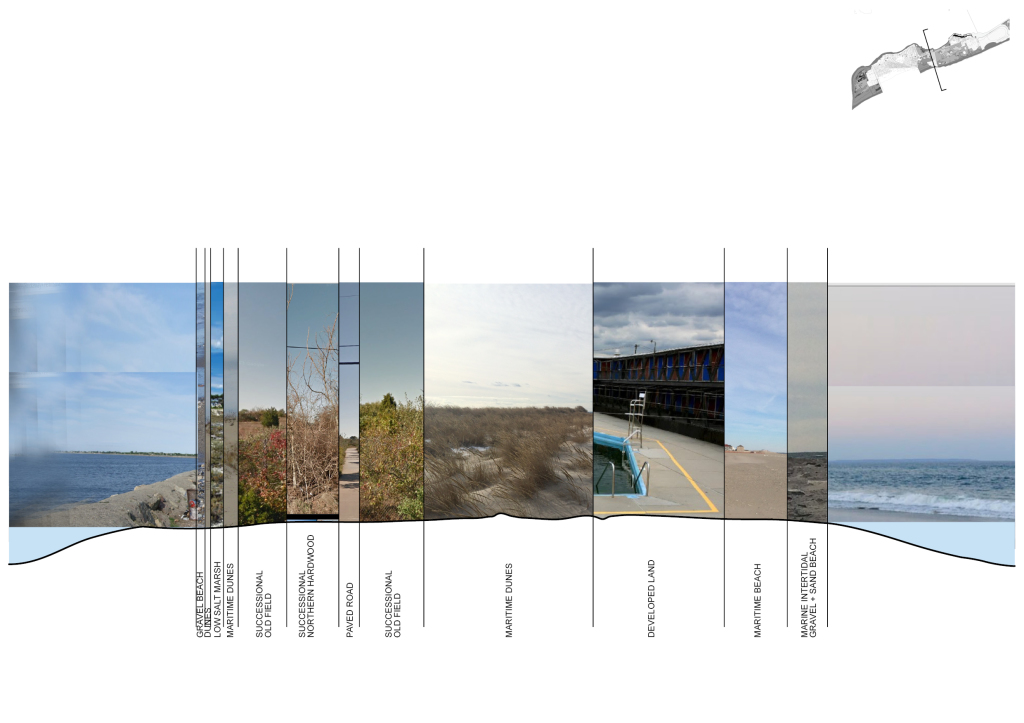
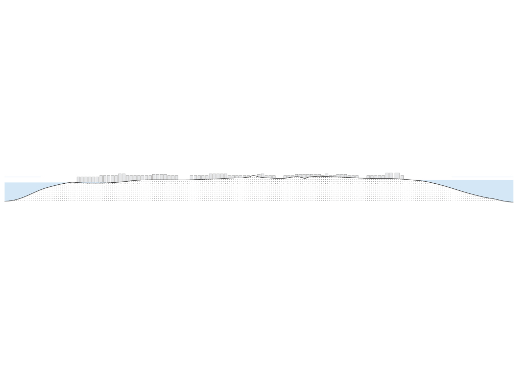
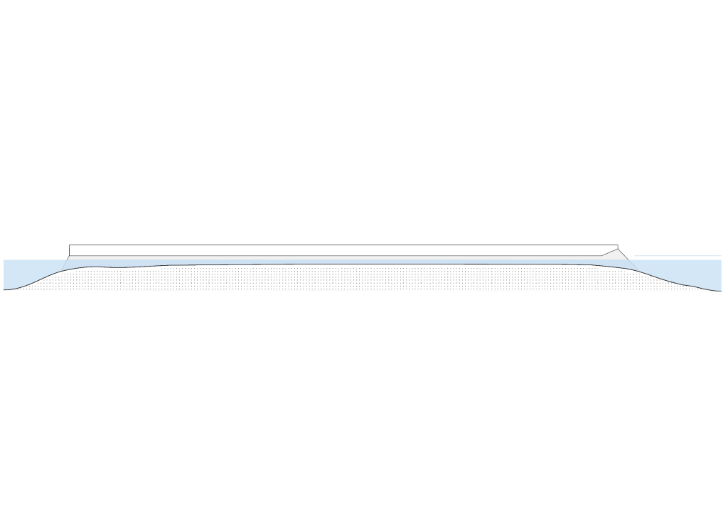
The Peninsula is fairly flat with very subtle changes in elevation, mostly attributed to dunescapes, but for the most part, this is a typical cutline from Breezy Point to the end of Jacob Riis Park.
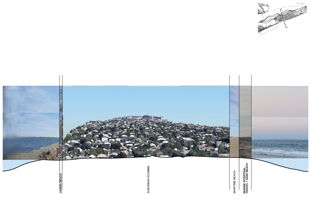
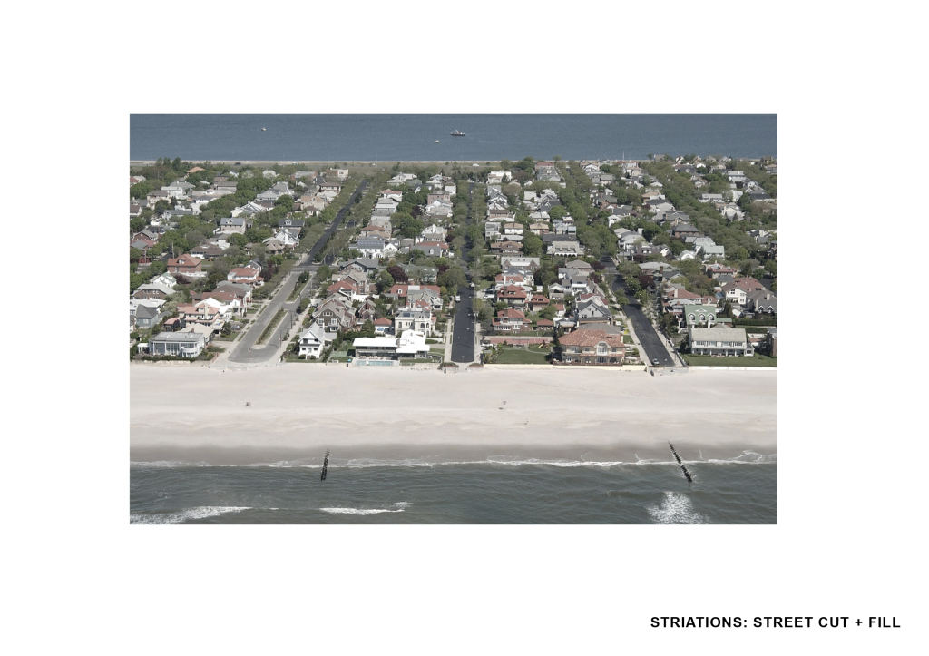
The rest of the Peninsula towards Far Rockaway are mostly developed land. This area in Belle Harbor is a very suburban area and perhaps the most affluent neighborhood in the island. But it’s still mostly entirely built on sand.
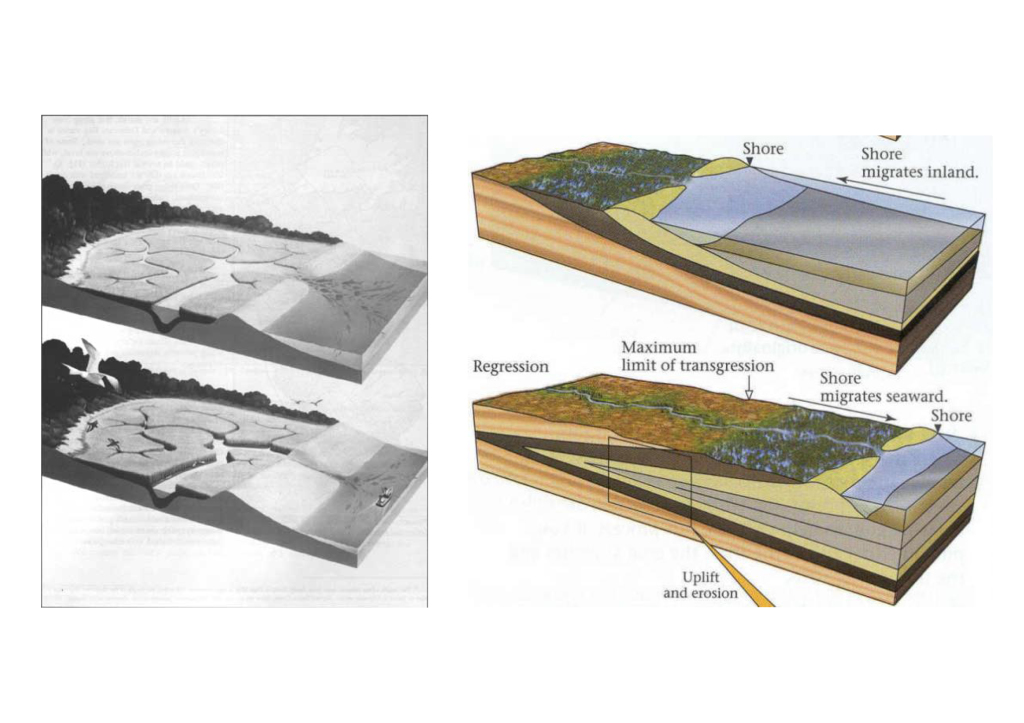
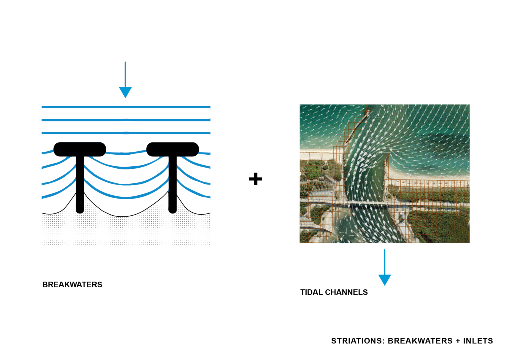
But so I started to understand the the ecosystem of breakwaters and tidal marsh inlets or tidal channels. In shallow coastal settings channels provide a pathway for the tide to propagate and are, thus, a primary control on the sedimentation and ecology of these environments. There was an opportunity to apply a simple strategy of subtraction that would do three things:
1 engage with and sustain the wetland ecosystem
2 allow for paths for water to move through in the event of a storm surge
3 provide a building infrastructure at a higher elevation that will relocate homes and other existing and new programs
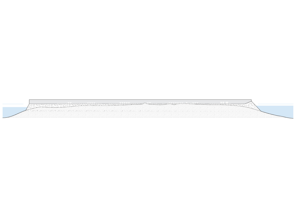
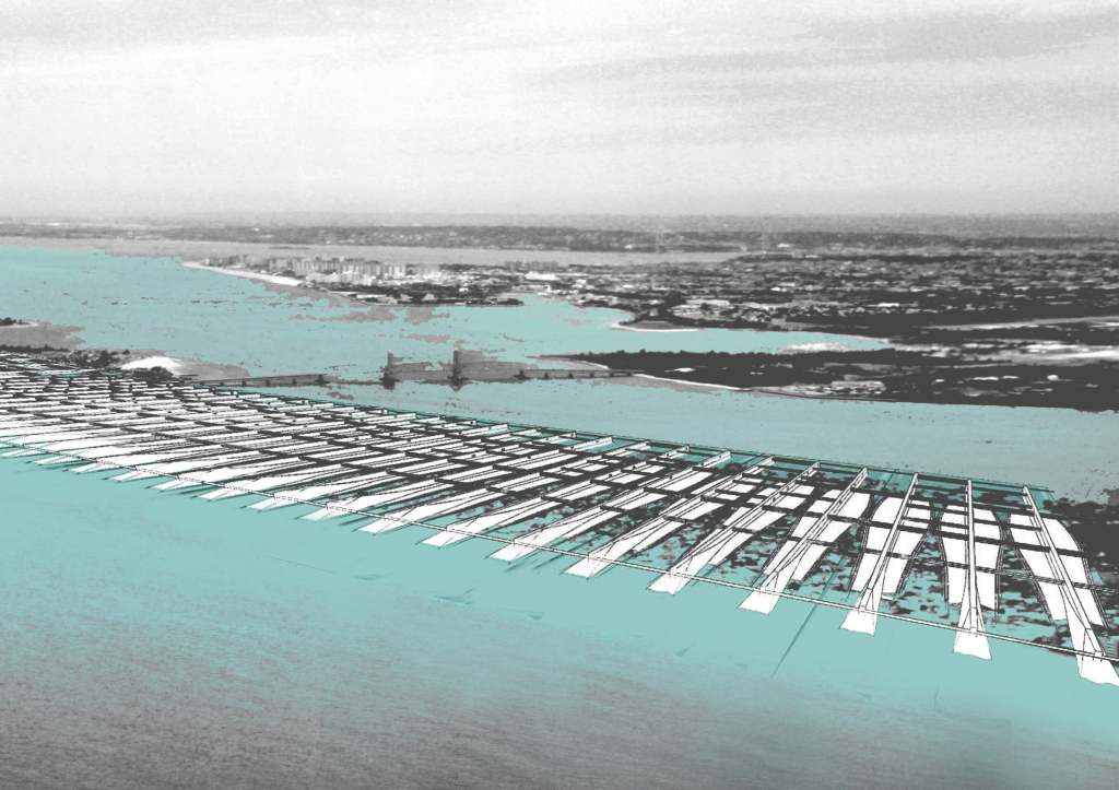
So what if building itself was breakwater — a series of breakwater buildings interspersed by tidal inlets that cut through the Peninsula.
Currently, a section through Belle Harbor, at its lowest point on the north side on the left, was under 17 feet of water after Sandy.
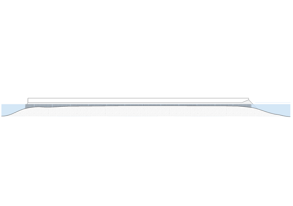
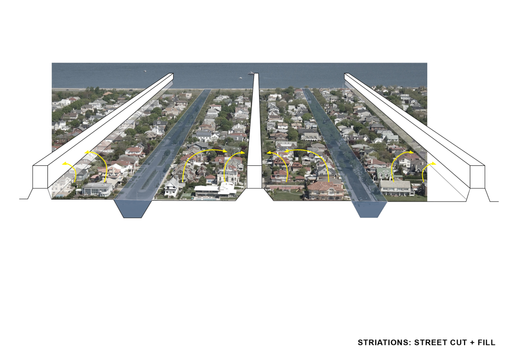
What if a everyone relocated to a building that essentially stands on a giant breakwater 20 feet higher than the current land elevation of the Peninsula.
And marsh inlets would cut through…
Or a tidal channel so water has somewhere to move through in the event of a storm surge.
Here we are at Belle Harbor again…
It would essentially be a cut and fill. The scheme takes every other street into an inlet and every other one into a bar slash breakwater. Herein, the people are relocated to the closest bar to their property.
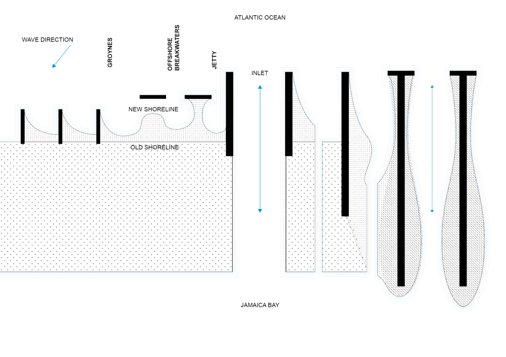
The interdependent relationship of giant breakwaters and a tidal inlets creates a certain morphology. With regard to sedimentation and shoaling of waves.
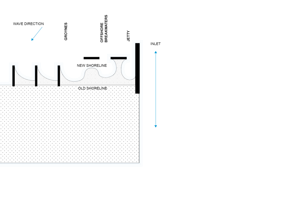
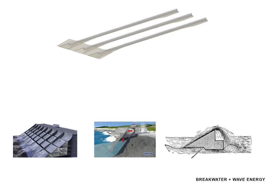
This is how we break water today: Groynes which are the stretches of rock protruding out from the island, offshore breakwaters and jetties…. This is showing the mutation of the shoreline, of land, with a single move which is essentially offsetting or protruding a bar outwards.
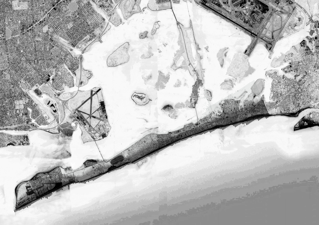
The inlet created by the jetty is obviously a larger coastal infrastructural move. but By the same logic, and scaling up what I’m effectively referring to as a breakwater building, you can imagine how a sort of designed demolition – a linear subtraction, an excavation between breakwater bars — would gradually morph the peninsula into these island dunes.
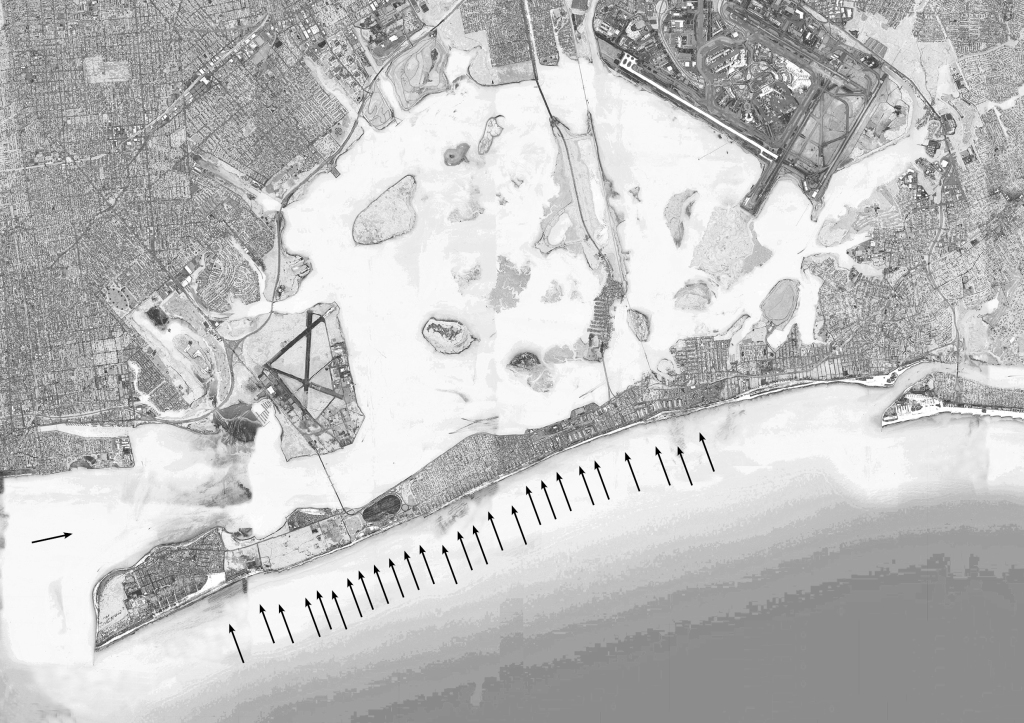
This is just showing the direction of the waves.
Conceptual collage of the strategy of subtraction.
Masterplan
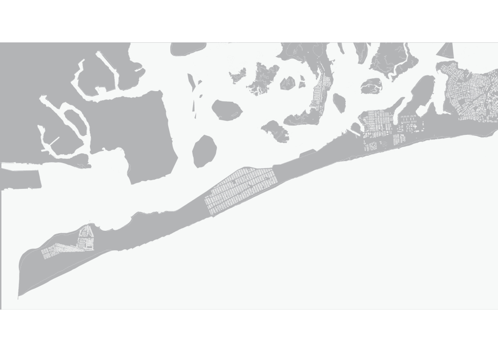
Here is the Peninsula…
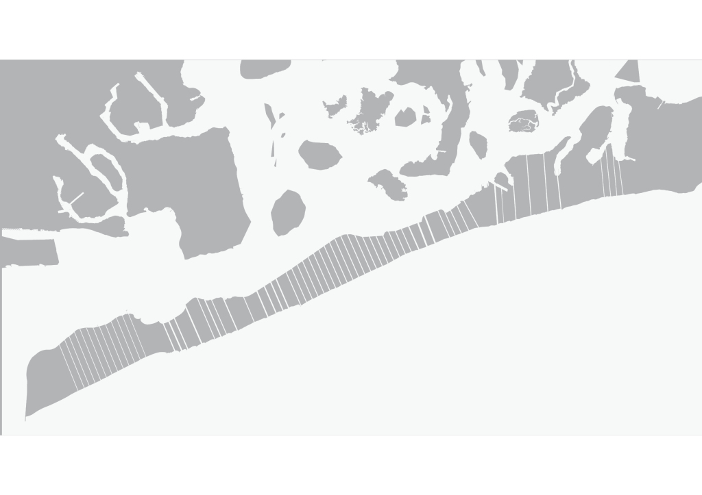
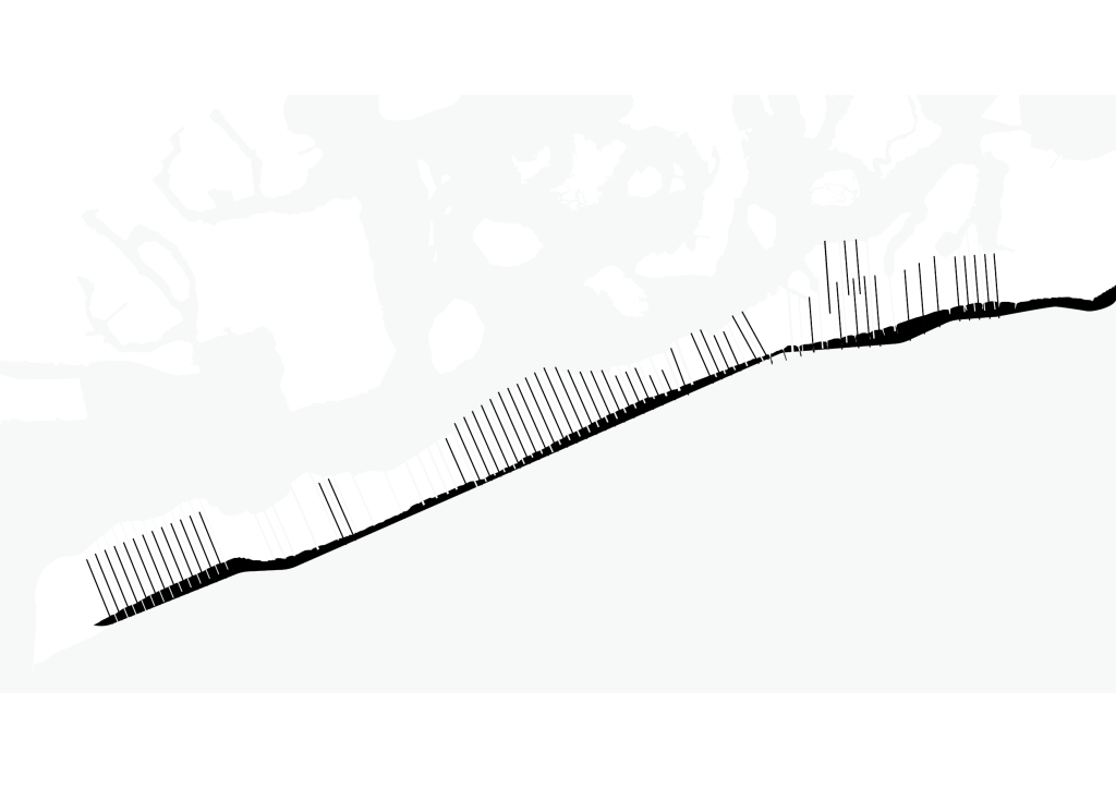
Tidal Channels
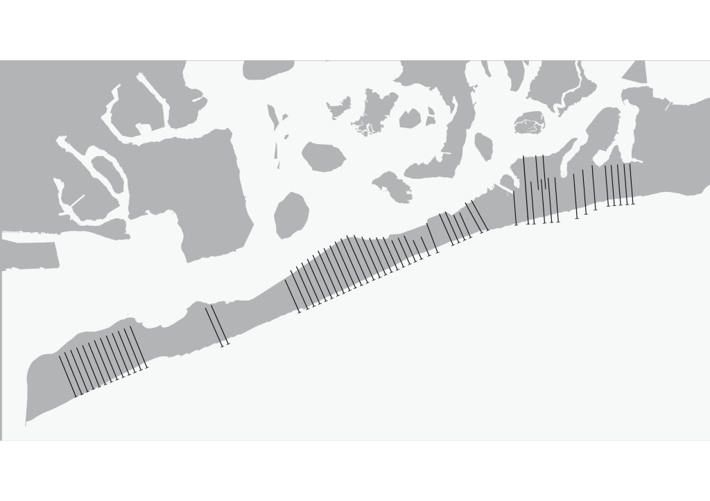
Breakwater Buildings
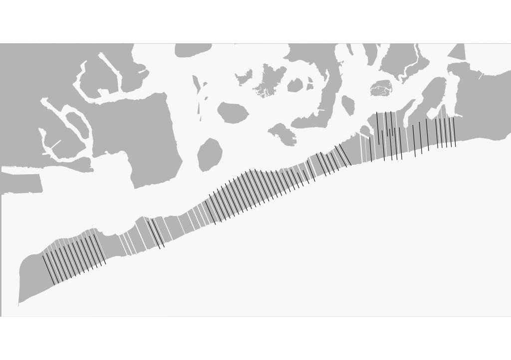
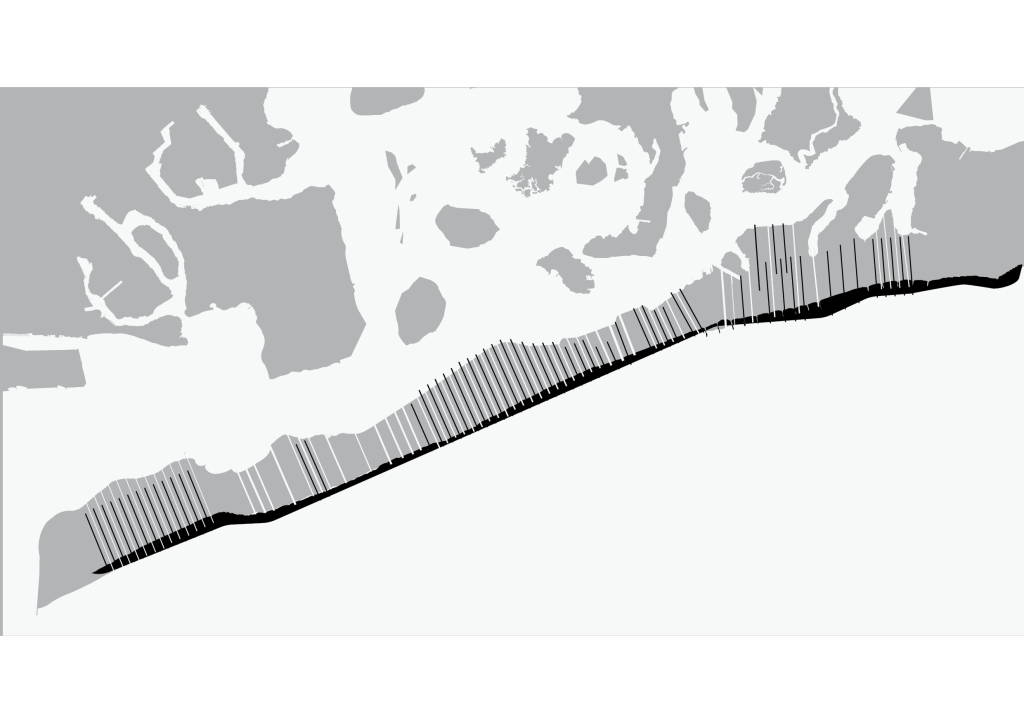
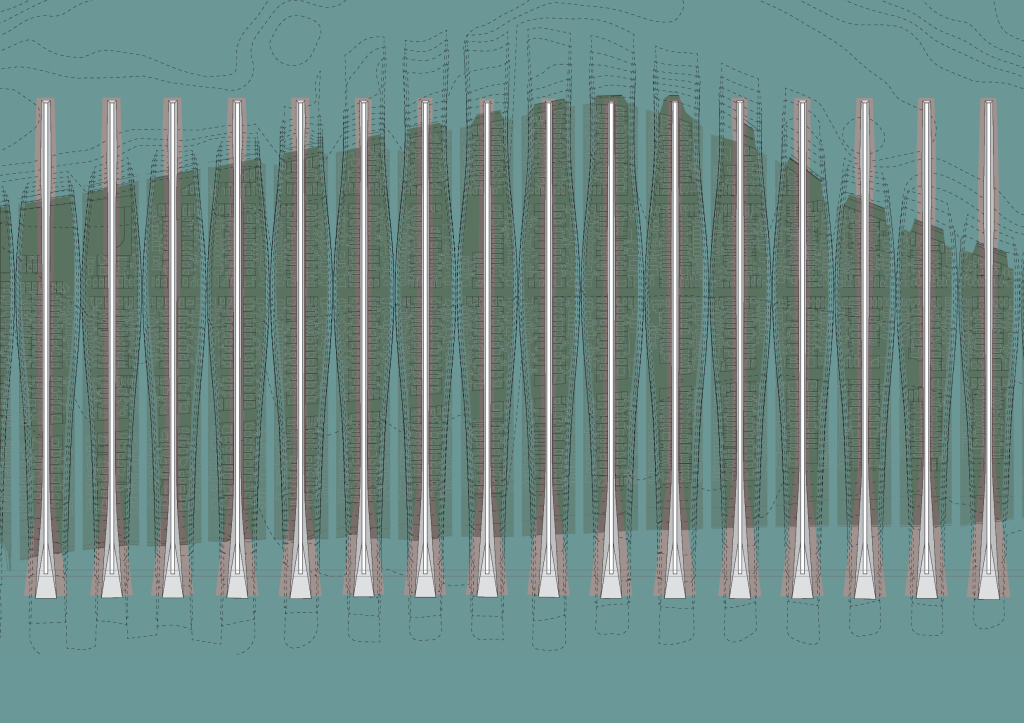
Together. The very linear scheme perpendicular to the peninsula creates a fluid connection between the ocean, the peninsula and the bay…
…but at the same time acting as a breakwater Barrier for the bay
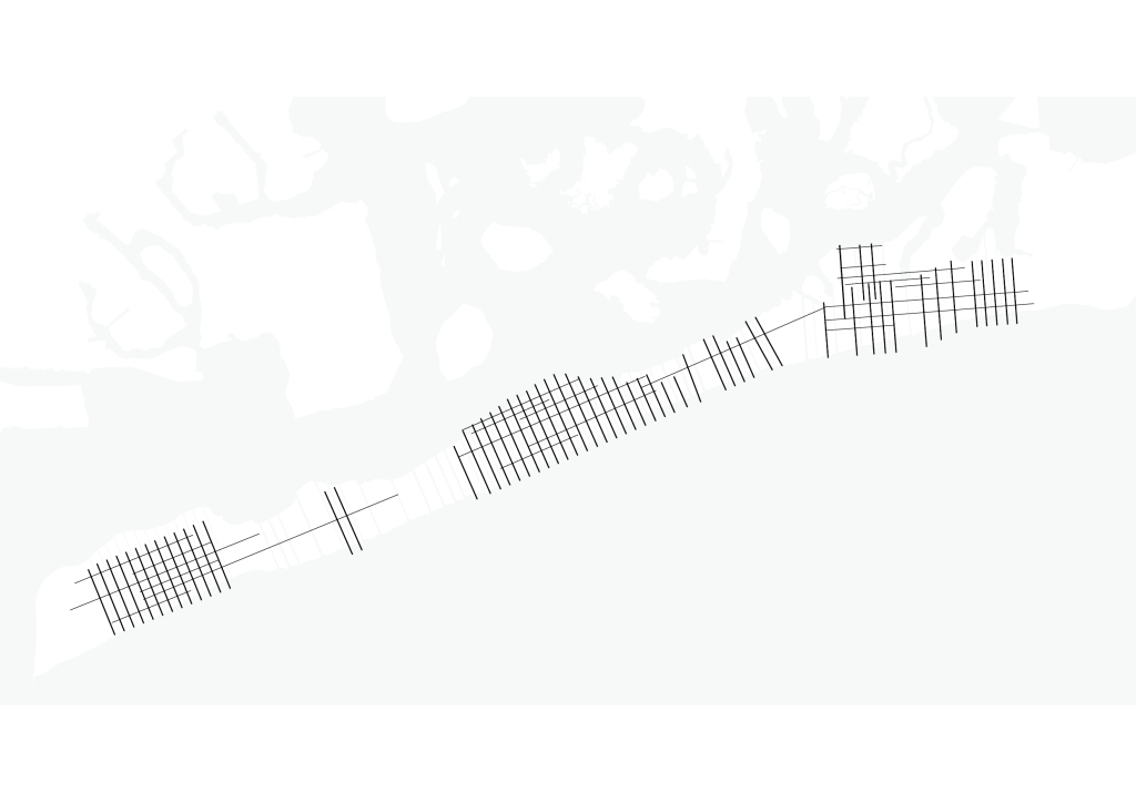
Here are the High Density Areas
This is the lateral network…
…that would be denser in these areas by the logic of the street infrastructure relocation.
Here is circulation at an urban scale where a coastal highway lines the south side of the Peninsula which structurally adds another more porous filter/water barrier.
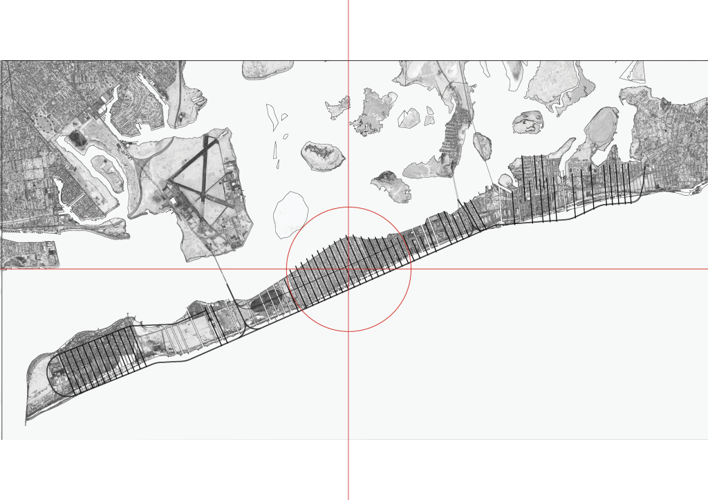
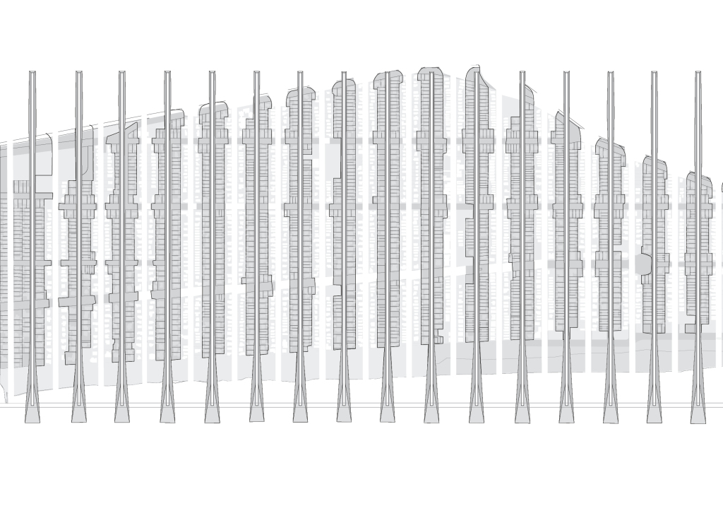
We’re going to zoom into Belle harbor.
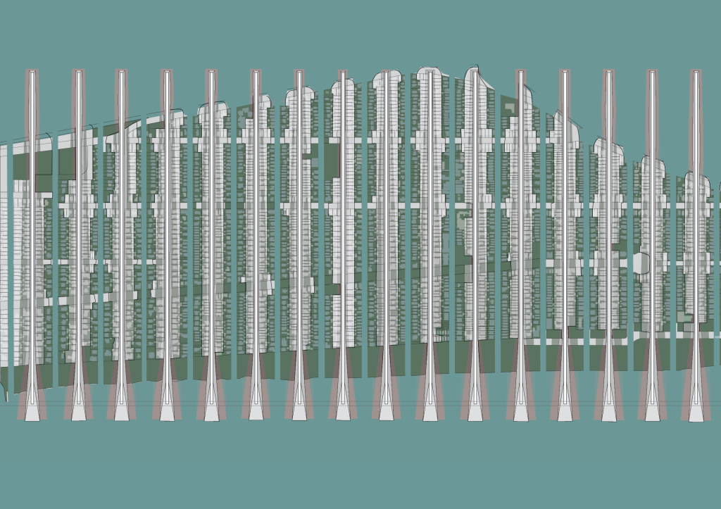
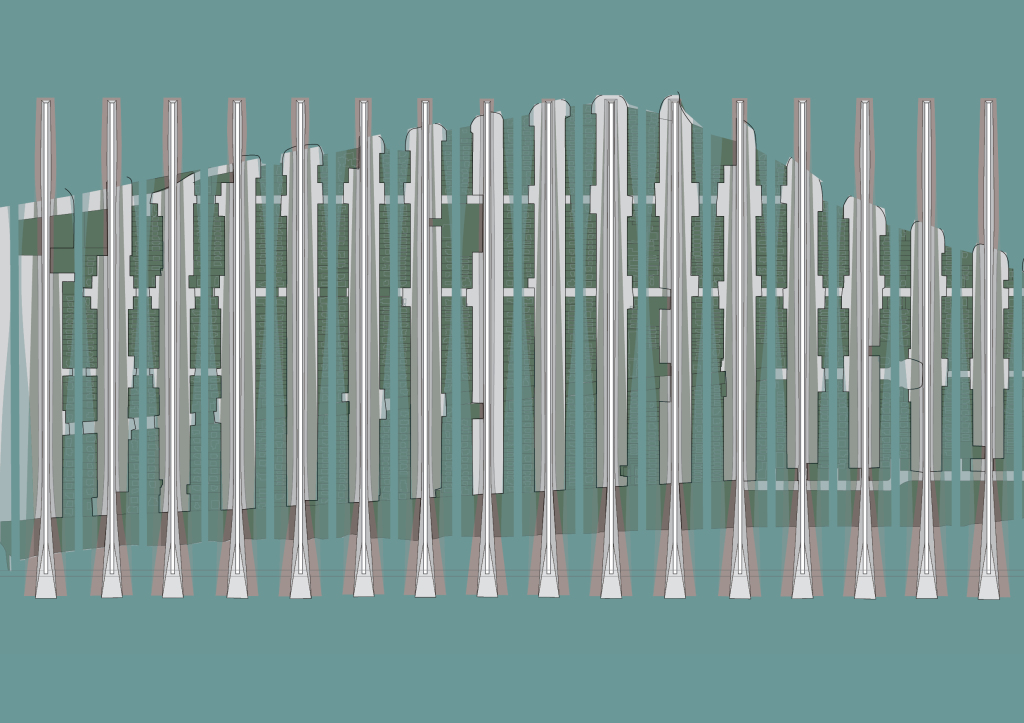
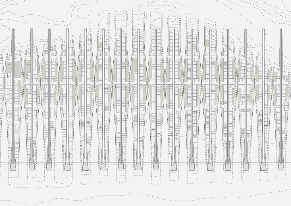
This is the designed demolition. In, sort of Phase 1, with narrow tidal inlets. Each breakwater building is essentially an island.
The in-between tidal landscape slash green wet zone
Channels widen, nature reclaims buildings in wet zone or naturally erode.
Island formation due to breakwater geometry.
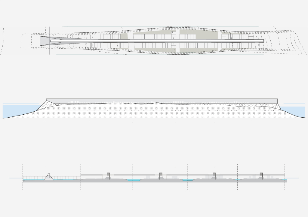
“Single island” sections.
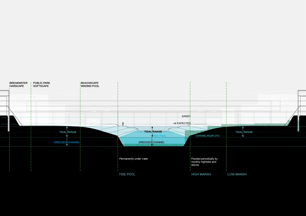
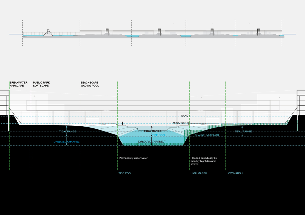
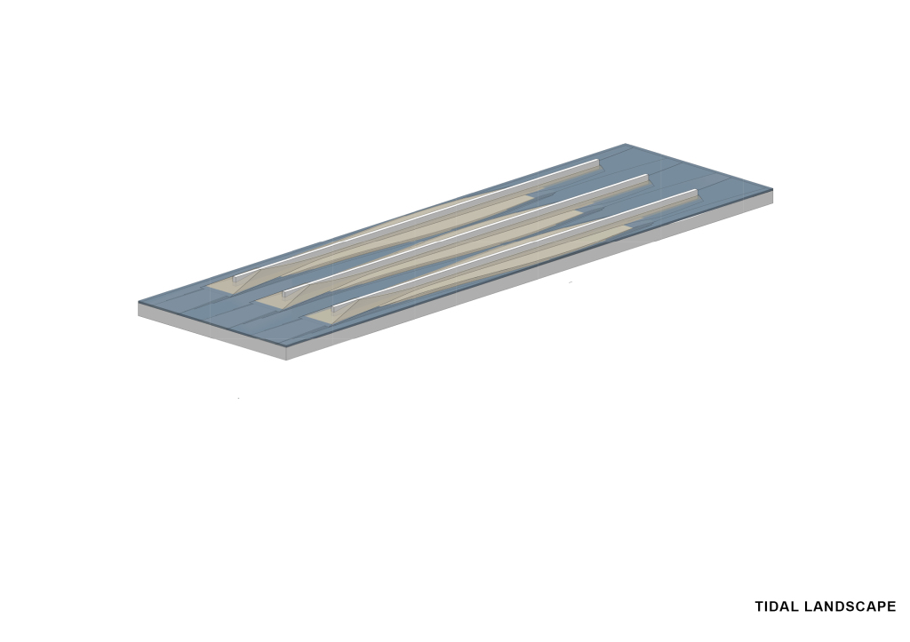
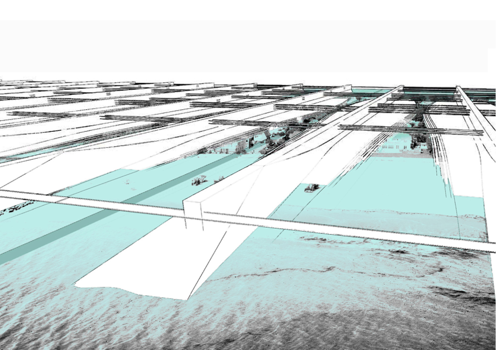
The wet inlets have a sort of stepped landscape between the lowest tide and the highest tide. These are landscape opportunities within the grid of beached canals, where the ground is wet for periods of the day — and dry, accessible at other times. It’s essentially becomes a wetland but a landscaped, partly hardscaped, manufatured beached lagoon. The idea is to create tidal inlets that embrace the realities of living with both the buoyancy and volatility of water.
These tidal inlets vary in section – from a 50 foot wide canal, to an 80 feet shallow stream, to a 100-200 foot deeper channel.
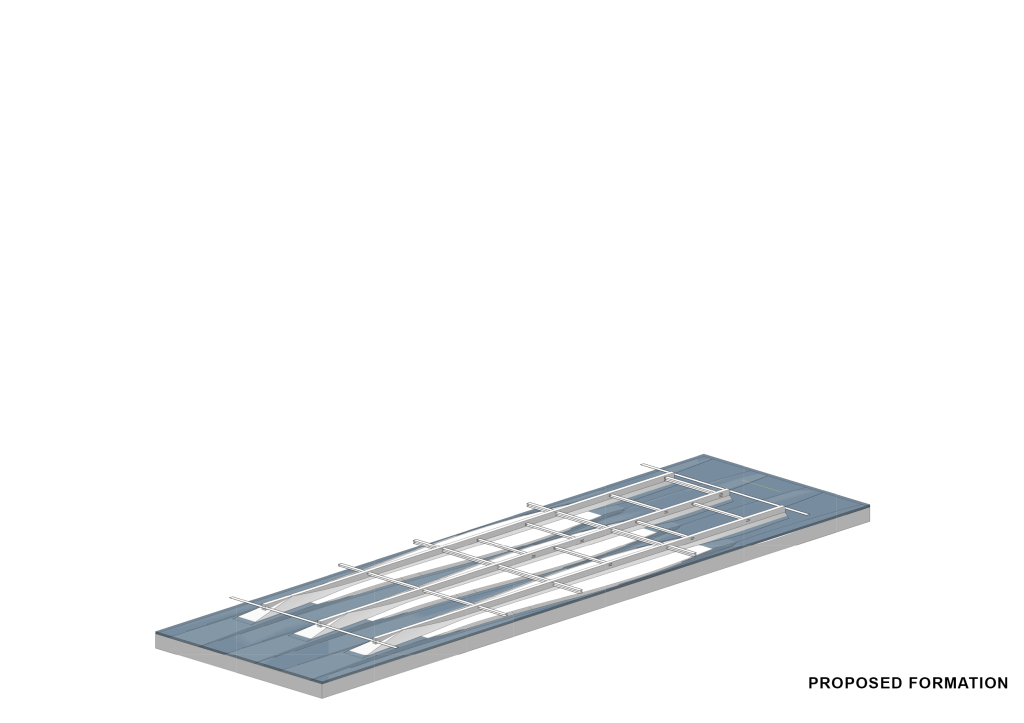
Proposed morphology.
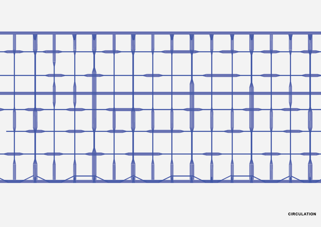
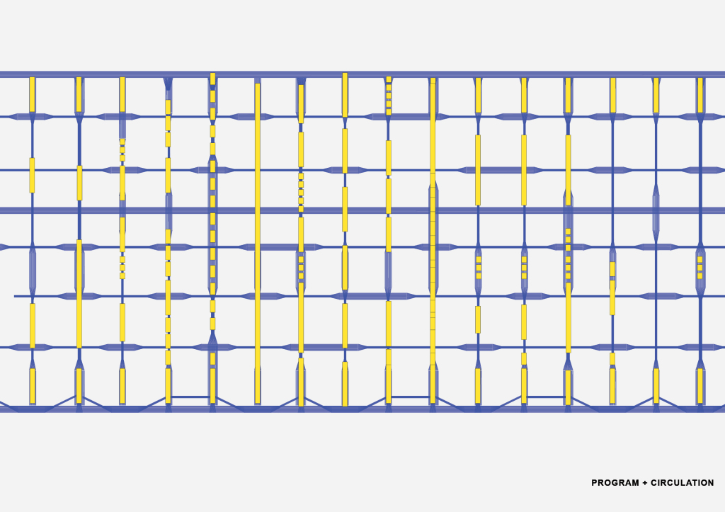
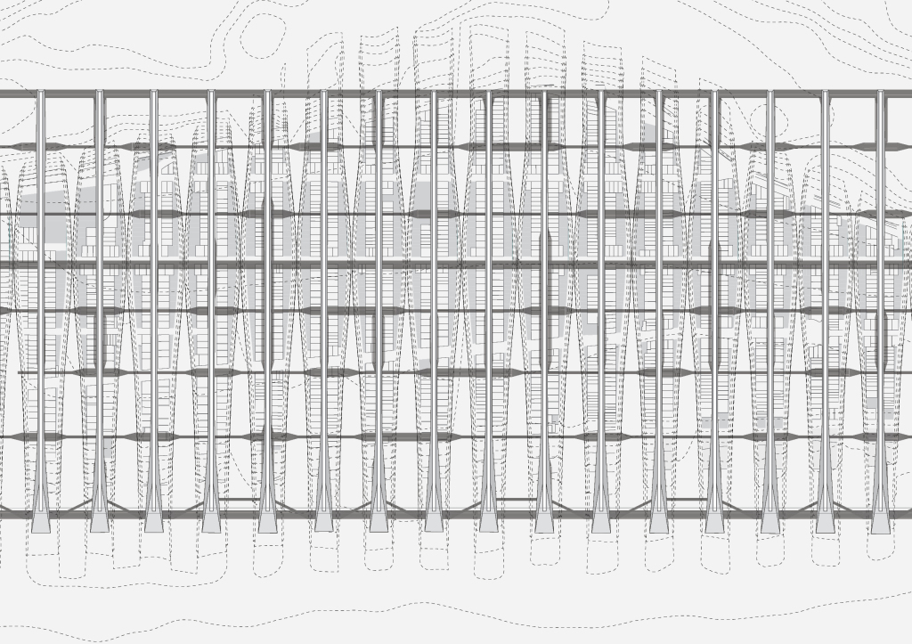
Vehicular, Metro and pedestrian circulation. The buildings have one-way streets. Metro cuts through the middle. Lateral network is purely circulation. No program.
circulation alone, which is still diagrammatic
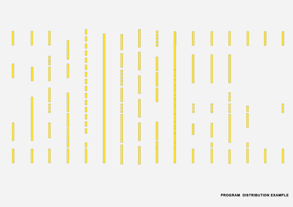
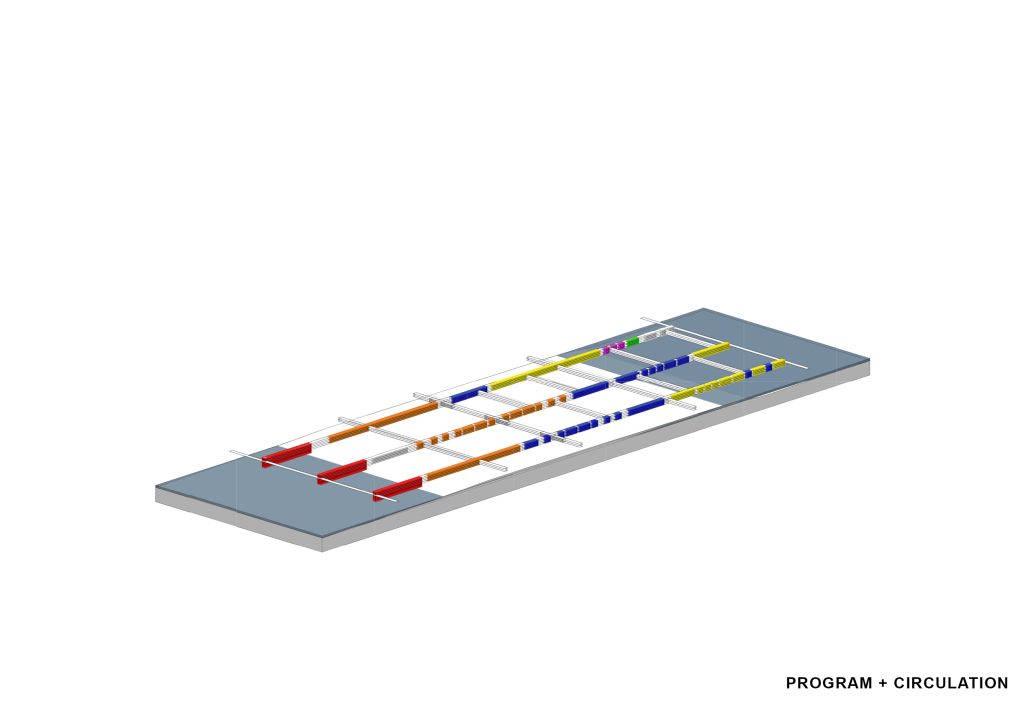
Here is an example of how program might be distributed.
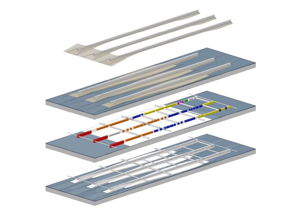
program + circulation
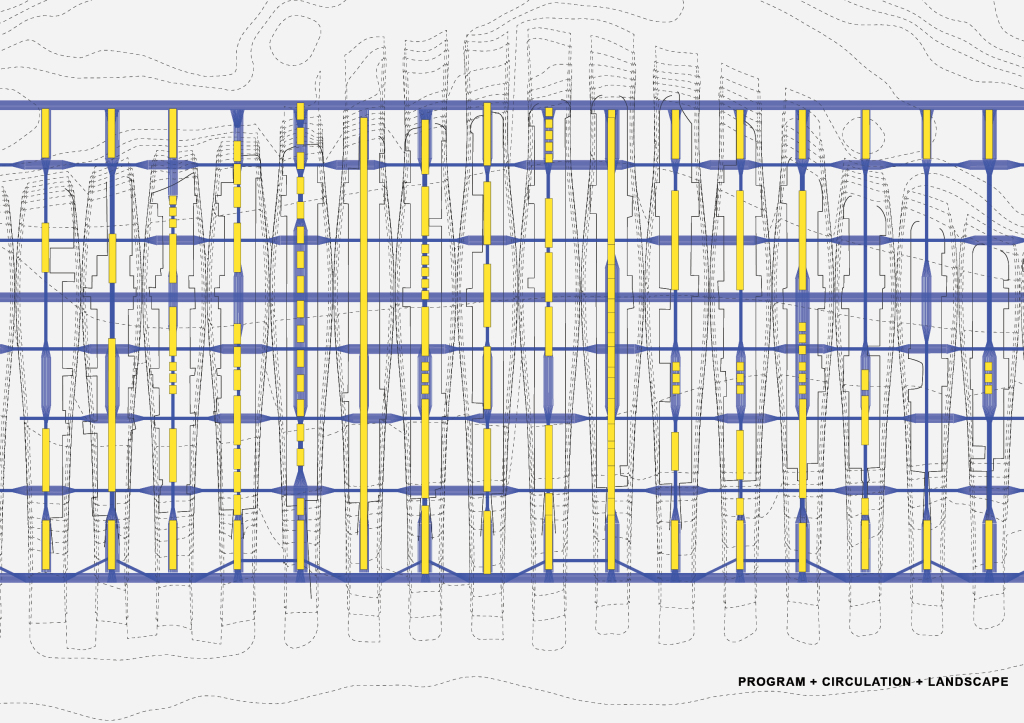
program + circulation + landscape
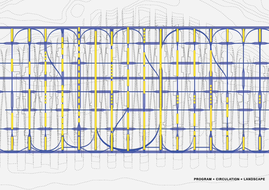
program + circulation + landscape plus vehicular ramps
Plan with lateral circulation
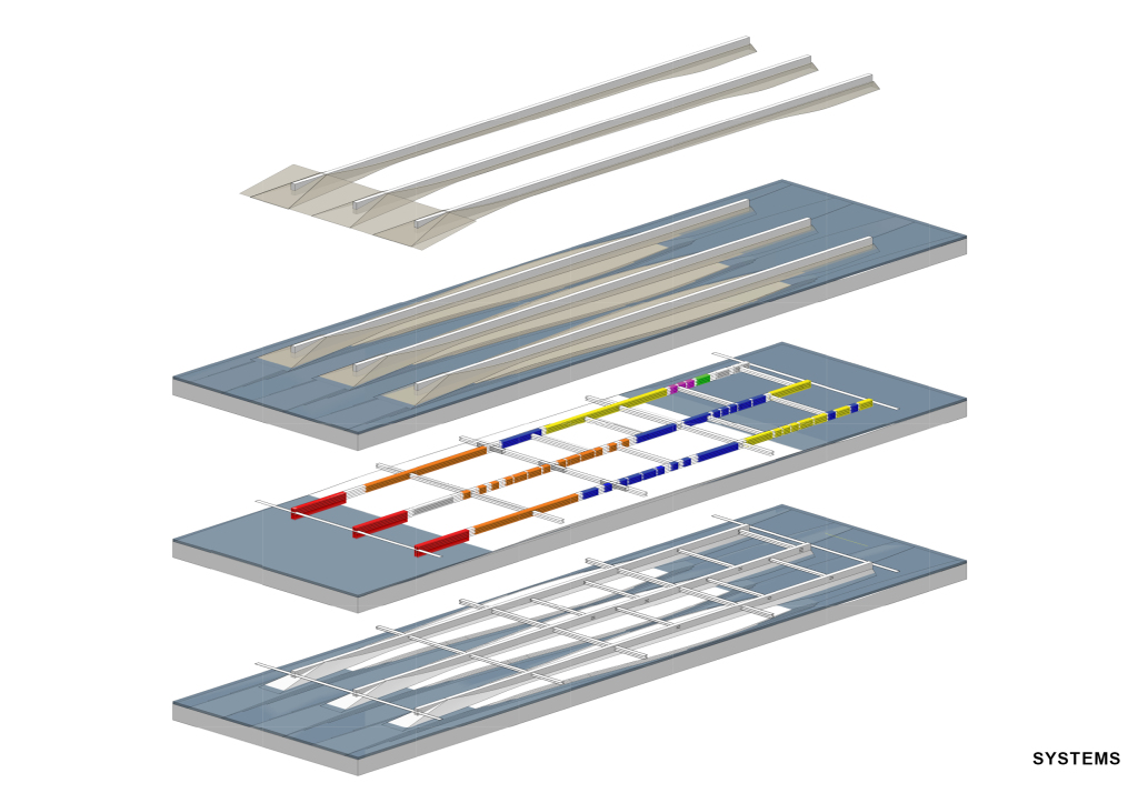
Systems at work…
Breakwater + wave energy
Tidal landscape
Program+Circulation. Each bar autonomous.
Breakwater + University + Housing + Commercial + Industrial
Proposed formation

